This marks the first summer I haven’t traveled out west in a long time. The west coast gets all the glory for summertime paddling in the US and rightly so as California, the Pacific Northwest, Idaho, Montana and Colorado are all at their prime right now. However it doesn’t mean that you can fully overlook the right side of the country as there are plenty of quality options! Also as I’m still in the process of healing a herniated disc the East Coast offers me some great summertime paddling close to home and a chance to get to some places I haven’t been in a while.
The best part about kayaking in the East in the summer is the heat, and that means day after day in a shortie! It’s pretty good to be on a creek run without a dry suit and a bunch of fleece. Many folks think that the water goes away here with the end of spring, not so. Summer time thunder storms, some timely dam releases, and just plain big rivers lend themselves to great paddling all the way through the dog days of August.
This year with the start of the first heat wave I packed up the van and headed North for my first paddling trip since finding out I had a herniated disc. It’s been really good to be back on the water and traveling, two of my favorite things in life. Enjoy the pictures!
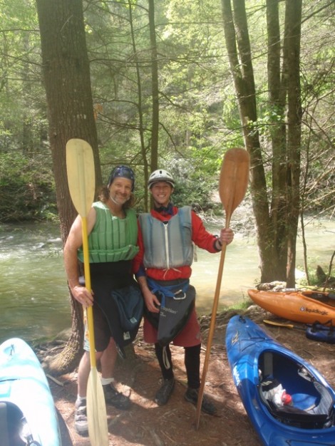
Wouldn’t be complete without a little Green River action in here. The Green is one of the best rivers ever in the summertime, lots of releases, good drops, and warm temperatures. Shane and I at the put-in on retro day.
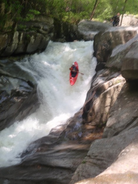
Rolling over Gorilla on Retro Day, good to be back in a boat and stomping this rapid. A 90 degree offset….well that was a little more challenging!
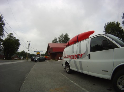
The van outside Moutain Man Outdoor Supply Company in Old Forge, New York home to the Moose River. Due to a lucky lightening strike the power plant was releasing water into the Bottom Moose which allowed me to get my first ever run on this iconic Adirondack river. It didn’t disappoint!
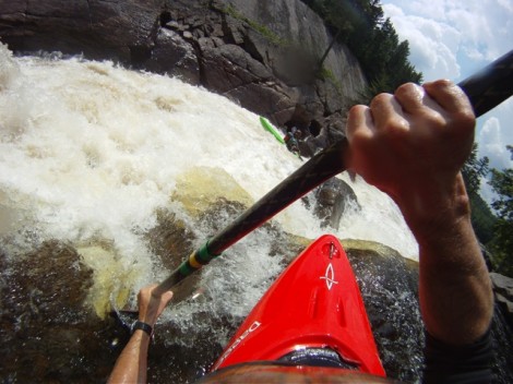
Lining up a boof on the Bottom Moose, I can’t believe it took me 20 years to get on this run. Glad I got to it I felt like I’d been doing the East Coast an injustice:)
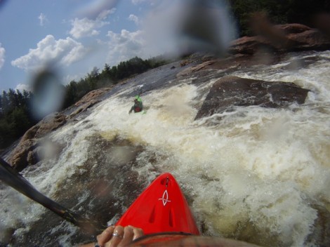
Following Will Crimmins down Sure Form one of the great slides on the Bottom Moose
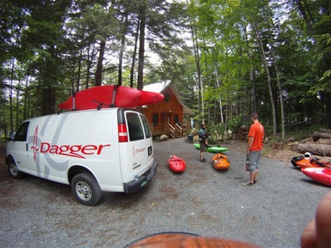
Another takeout after another great day on the water!
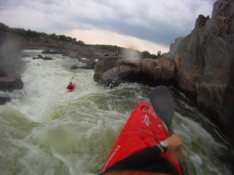
The view from Grace Under Pressure on Great Falls, Potomac River. Great Falls and the Potomac are one of the great urban jewels of East Coast kayaking. 20 miles downstream of this boof is the Whitehouse. It’s pretty cool kayaking resource as it has something for all levels of paddling right outside of Washington DC.
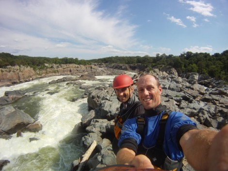
My cousin Ben and I at the Center Lines on Great Falls.
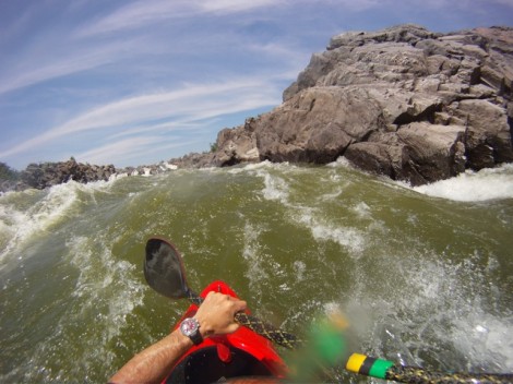
Shredding the O-deck waves in my Axiom! Great waves and great boat!
I think two of my favorite parts of a good road trip are the people you get to see and the random things you end up doing. It’s good to have a plan sometimes but sometimes you just gotta go with the flow….
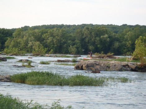
Stand up Paddle Boarding on an upper section of the Potomac
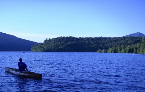
Evening on Lake Placid, New York. Can’t be afraid of some different craft, my friend Christian paddling home after drinks at the Lake Placid Lodge
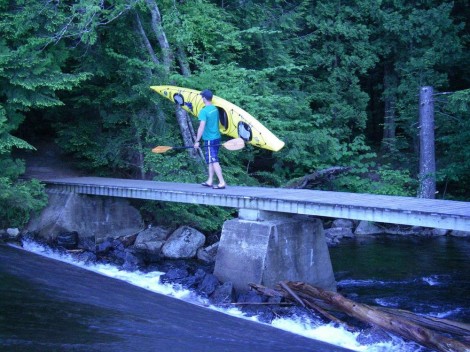
Speaking of different craft to where am I going with this again?…..
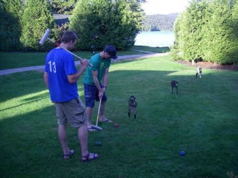
Never be afraid to take advantage of croquet
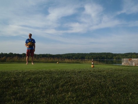
And above all never go anywhere without your PFD
Catch you next time and happy paddling on whatever craft this summer!
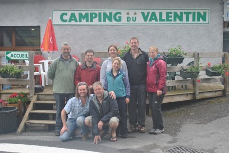
The Pyrenees is probably not the first place that springs to mind when you mention the words Open Boating! But having just returned from a short paddling trip there, rest assured a good time was had by all. The aims of our trip was to allow people to work towards BCU star wards where possible and also to give people an Alpine experience. We based our selves at the Camping du Valentin campsite in Laruns at the head of the Ossau valley, which is in the Parc National des Pyrenees.
The Pyrenees itself is a mountain range in the South West of Europe that forms a natural border between France and Spain and offers the perfect environment for adventure and a challenge offered by the variety of good white water paddling. Anyone and everyone will enjoy paddling the rivers in the Pyrenees, as there are sections of rivers ranging from grade 2 to 5+. The river levels vary according to the water releases from dams, rainfall and melting snow. This year the levels were low due to a lack of rain and little snowmelt, this however did not prove to be too much of an issue for our plans.
It was decided that a god starting point would be to spend the first day after traveling, refreshing peoples rescue skills at the Slalom course on the River Pau not far from Lourdes. This proved to be worthwhile and gave people the opportunity to practice their swimming, use of throwlines and good chance to explore the use of swim lines, all of which proved very useful as the week developed.
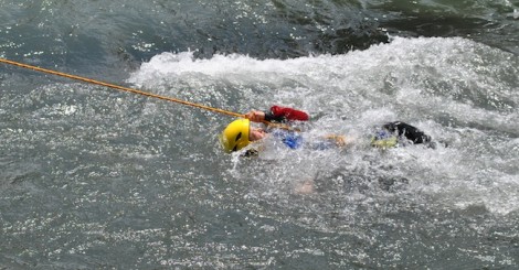
Throwline practice
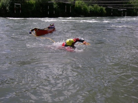
Getting to grips with swim lines
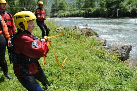
Using a vector to pull to assist the rescue of a canoe
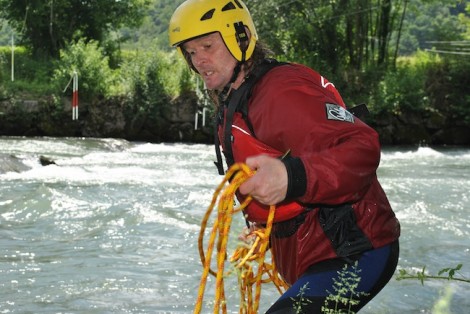
Knit one, pearl one!!
Despite the variety of river paddling opportunities available to us, day two found us searching for some flat water in the form of a lake in order to look at some fundamental canoe skills, paddling both tandem and solo prior to tackling some of the rivers. This proved somewhat of a challenge as most of the local lakes are in fact private and owned by the Hydro-electric scheme and paddling is not permitted.
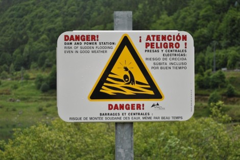
One of the many warning signs
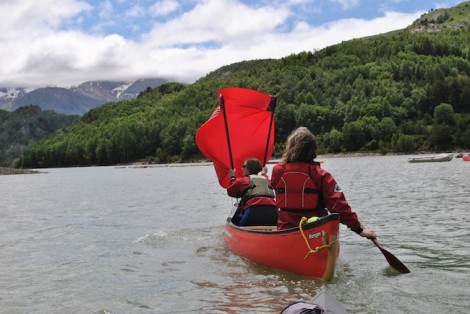
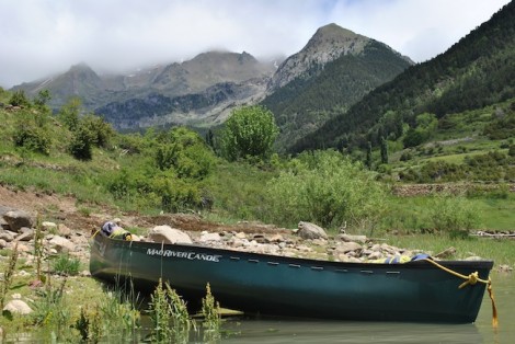
Even after some careful research prior to the trip and after having spoken to some local paddlers our first location was a classic example of this and so we had to head further afield and travel across the border into Spain. This proved worth while and gave the group the opportunity to not only paddle in a stunning setting but also due to the wind an opportunity for a bit of sailing.
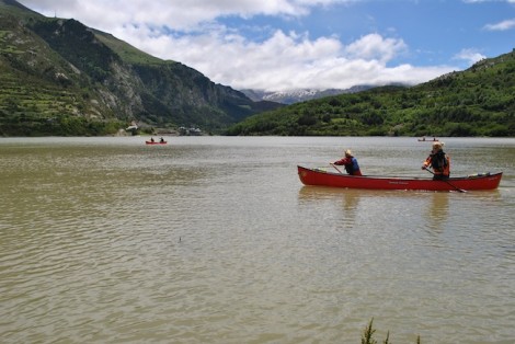
A stunning setting for some open water paddling
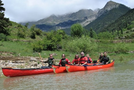
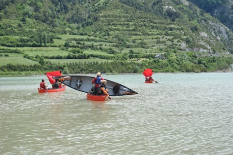
Time for some sailing
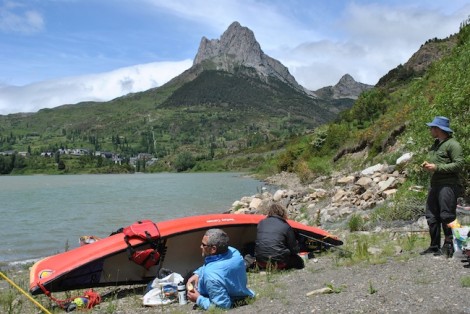
After having explored the local area and enjoying the scenery we headed back to the beach for a spot of lunch and an opportunity to take a look at the use of tarp shelters in conjunction with boats, poles and paddles etc
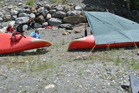
A bit of tarpology was also on the lunch time menu!
For the remainder of the week we focused on our white water paddling and visited a number of rivers including the Garve de Pau and Garve d’Ossau. The guide book states that theses rivers are grade 2 to 3, however due to the low water conditions they were only of a good grade 2 with nothing too serious. Incidentally the guide book I refer to is White Water Pyrenees by Patrick Santal.
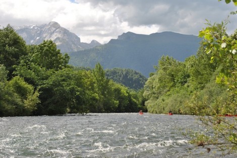
- Looking back up the Ossau with the majestic mountains in the back ground
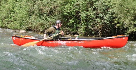
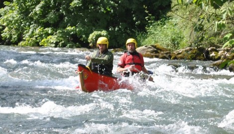
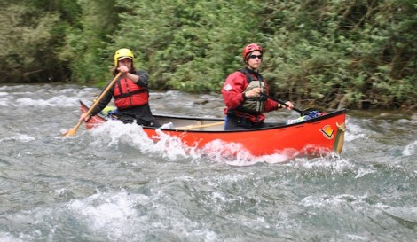
The look of concentration!
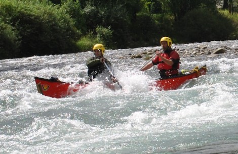
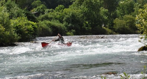
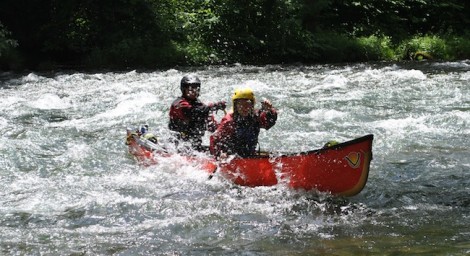
During our river trips we came across a number of barrages that form part of the Hydro electric scheme and required portaging. Also a number of weirs were encountered, that after inspection were run, proving to be a real highlight for some.
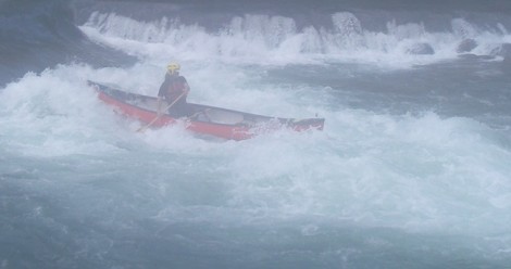
Richard narrowly avoiding swamping!
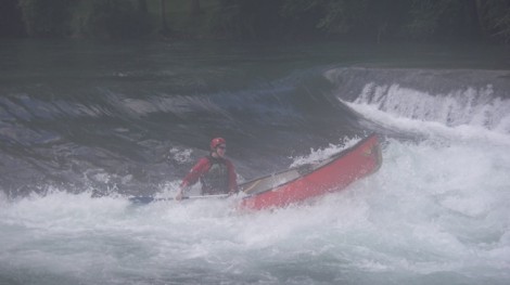
Enjoying one of the many weirs
Despite the low levels of water experienced the trip proved to be a great success, and I would certainly recommend it as a good paddling location for open boat. I am already planning to head back there again next year and explore more of the rivers. All those who took part benefitted greatly and felt the experience was worth while, plus a big improvement was noted in everyones skills.
Thanks to everyone that came along and made the trip possible.
See you on the water…
Jules
www.voyageur-coaching.co.uk
The Lakes is a place I like to try and visit a couple of times a year as I enjoy both the paddling and scenery it has to offer. So whilst on one of my trips earlier this year I took the opportunity to revisit Ullswater whilst introducing a few young kayakers to the delights that open boating has to offer. I felt that paddling the entire length of Ullswater followed by an overnight bivy then a trip down some easy grade moving water of the River Eamont was the way ahead.
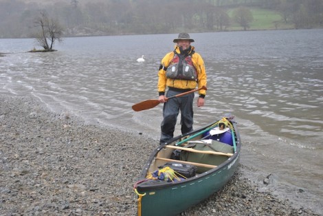
Keep smiling and hopefully the weather will improve..!
Ullswater is the second largest lake in the English Lake District. It is approximately 9 miles long and 0.75 miles wide and has a depth of 60 metres. It is said to be one of the most beautiful of the English Lakes and has been compared to Lake Lucerne in Switzerland. The name Ullswater is said to have possibly originated from a Nordic Cheif ‘Ulf” who ruled the area.
One of Ullswater’s interesting facts is that Sir Donald Campbell set the world water speed record on Ullswater on July 23, 1955, when he piloted the jet-propelled hydroplane “Bluebird K7″ to a speed of 202.32 mph (325.53 km/h).
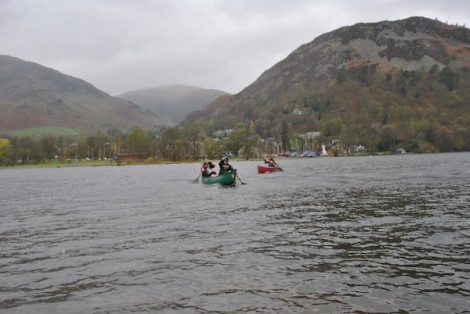
Dark clouds building
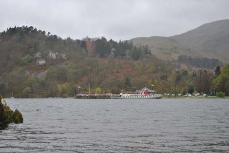
Looking back to the Jetty and one of the Steamers that runs trips along Ullswater
We chose to launch at the Southern end of the Lake on the Western shore at the Jetty where the Steamers sail from. Launching here is free although there is a fee for parking. The weather was rather unsettled with strong gusting winds and heavy showers so I was very glad I was wearing my old favorite an Aleutian Cag. Not to be put perturbed by the conditions we set off trying to get some shelter provided by the many surrounding hills. As we paddled across we had a good view down the lake of what was to come on our journey.
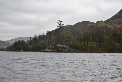
Heading over to the Eastern shore seeking shelter
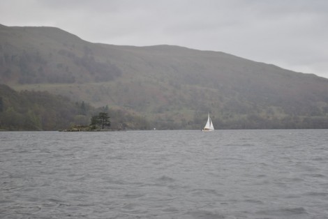
Looking down the Lake
As previously mentioned the winds were quite strong so we decided to harness the effects and rafted our boats together, building a Catamaran style sailing rig. All set and fully briefed with regards safety, man over board etc we were off. The decision was made that due to the speed we were traveling at we would only sail for a short distance so as not to end our days journey by arriving at the end too soon.
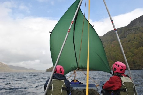
Hoist the mainsail!
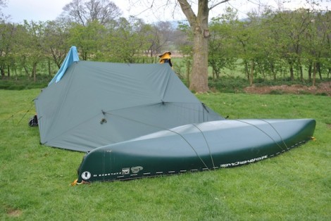
My home for the night
We made good time and soon arrived at the far end of the Lake not far from Pooley Bridge. We camped for the night at the Waterside Campsite which I can thoroughly recomend. As usual I opted for a tarp shelter using my boat rather than a tent.
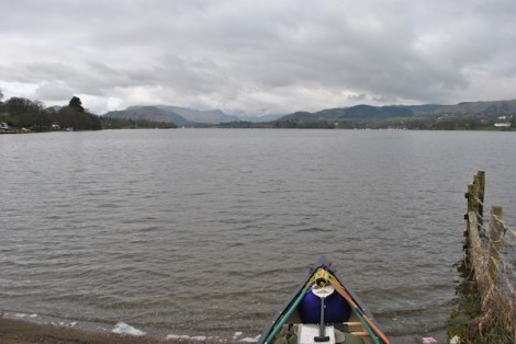
View back up the Lake as we set off
Next morning we set off paddling from the site heading to Pooley Bridge where the River Eamont flows out. This is a very pleasant section of river at a grade 1-2. Overhanging trees being the biggest hazard together with a few weirs, most of which can be run in lower levels but may require inspection at higher levels.
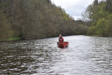
Enjoying some of the flatter sections
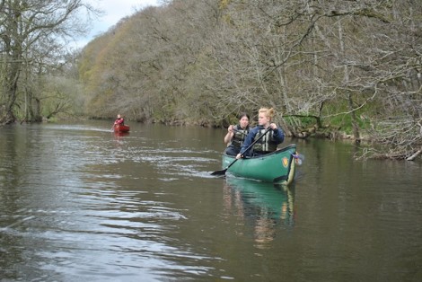
Two's company three's a crowd!
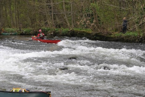
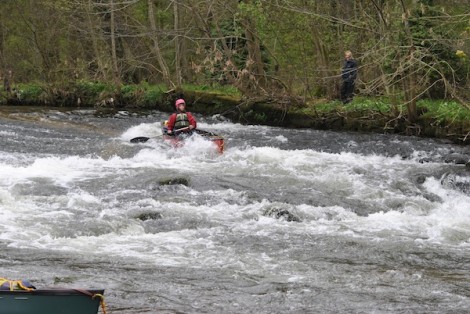
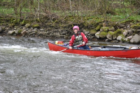
Me thinks you enjoyed that!

A very photogenic Explorer 15
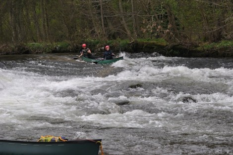
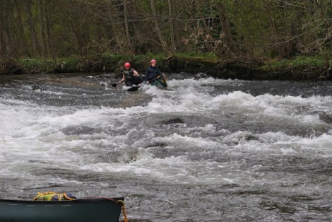
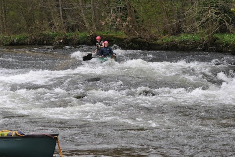
Who's driving?
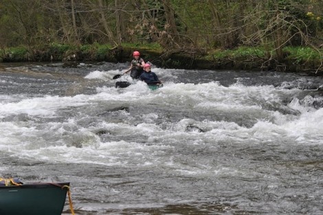
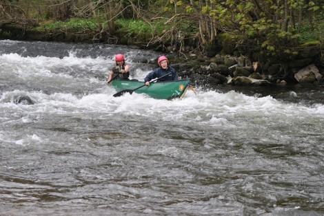
And before you ask, no they didn't!!
A few drops later and it was time for some lunch near the Eamont Bridge before continuing on down to our finish point at Brougham Castle. This section of the River Eamont is approximately 11km with the option of extending the trip further, as the River Lowther now joins leading on a further 7km to where it joins the River Eden.
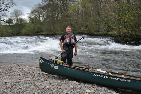
Despite the challenging weather a great couple of days paddling were had. I can thoroughly recommend this trip, but as previously mentioned check the levels before setting off and if in doubt seek some advice. Many thanks to Angus, Maria and Oliva for accompanying me and may be now Ive converted you to wannabe open boaters!
See you on the water…
Jules
www.voyageur-coaching.co.uk
Having paddled open boats of the more traditional variety for many years I recently decided to revisit and explore the world of the White Water Canoe or ‘Spec Boating‘ as it is sometimes referred to.
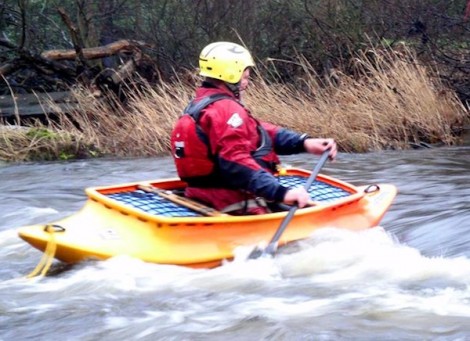
Early days. Its like learning to paddle again!
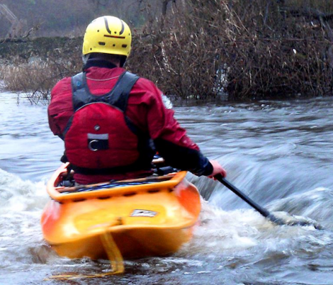
I have been the proud owner of a Mad River Outrage for a number of years and have had lots of fun and enjoyment paddling it. Although I will say I did clock up a number of hours trying to roll it! It definitely allowed me to take my White Water paddling into new areas, and gave me some new skills to apply to my traditional style of paddling. The boat seen above is a Spanish Fly and paddling this has been like learning to paddle again from scratch.
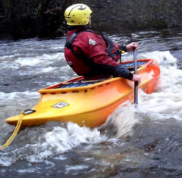
A good stern pry is one of the keys to paddling a WW Canoe
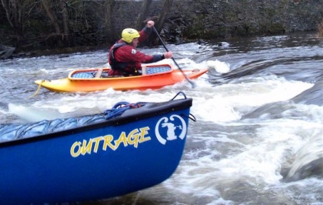
Although still an open canoe these boats take on a somewhat different appearance, being alot shorter in length, have a more pronounced rocker and in some cases quite bold edges. Unlike traditional canoes the boats tend to have a saddle of some form in place of a kneeling thwart together with some kind of strap system to ensure a snug/secure fit and also to allow the boat to be rolled. Another feature of a White water specific specific canoe is that most of the empty space within is occupied by air bags. All these features greatly aid the performance and the fun that can be had by a canoe in a more challenging environment.
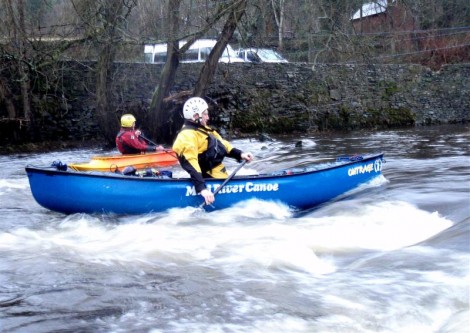
Andy paddling my Mad River Outrage
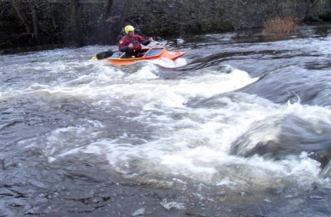
One of two poses... Either swimming or about to swim!
Having spent more time in it recently its time to move on. In a few weeks I will be visiting the Pyrenees for some trad style boating and hopefully to have some more fun in my WW canoes. Then later this year another trip to the North of Scotland is on the cards. Hope to have some tales of paddling them together with some pictures soon.
See you on the water….
Jules
www.voyageur-coaching.co.uk
I was lucky enough this week to be joined by good friend and fellow paddler Chris Charlton, along with a group of first year degree students from UCLAN (University of Central Lancashire) who were studying a mixture Outdoor Leadership and Adventure Sports Leadership. We were based out of Ty’n Dwr Hall in Llangollen North Wales.
We had spent some time discussing our aims and had decided that a journey on Bala Lake was going to be the order of the day. It was a cold and frosty morning as we loaded the boats and sorted the kit, and this cold theme was to continue throughout the day. After a short drive through a wintry landscape, we arrived in Bala and made a quick stop for the all essential brew kit, chocolate biscuits and marshmallows to accompany our Kelly Kettle. Chris and I had introduced the group to and given them a few top tips and handy hints on how to light it the day before whilst paddling at Ellsemere.
Bala Lake or LLyn Tegid (Lake of Serenity) as its know in Welsh, is Wales’s largest natural lake and measures 4 miles (6km) long by a 1 mile (1.5km) Wide. It is crossed by the River Dee and its waters are famously deep and clear. Bala itself is located within Gwynedd in the Snowdonia National Park, partway between Llangollen and Betws y Coed and is easily accessed via the A5 which runs through North Wales.
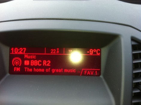
It was going to be a chilly one!
As we arrived at our launch point I noticed the in car thermometer reading a cool -9 outside! Today was going to be a tad chilly. We had chosen to launch a short distance from the normal shoreline due to the ice on the ramp down to the water. Instead we had opted for a layby approximately 200m further down the road on the Western side of the lake. This proved easier access with only a short boat carry down some steps to the water’s edge. There is a launching and parking fee payable for using the lake, so its a good idea to visit the Lake Wardens Office at the Bala end of the Lake, above the public conveniences prior to launching. You can then be advised on where to launch, weather and any events etc that may be happening. There is also a Watersports Centre (Bala Watersports) based on the lake with hire facilities.
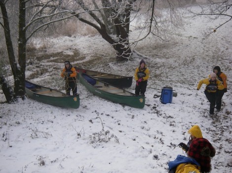
getting the boats to the water
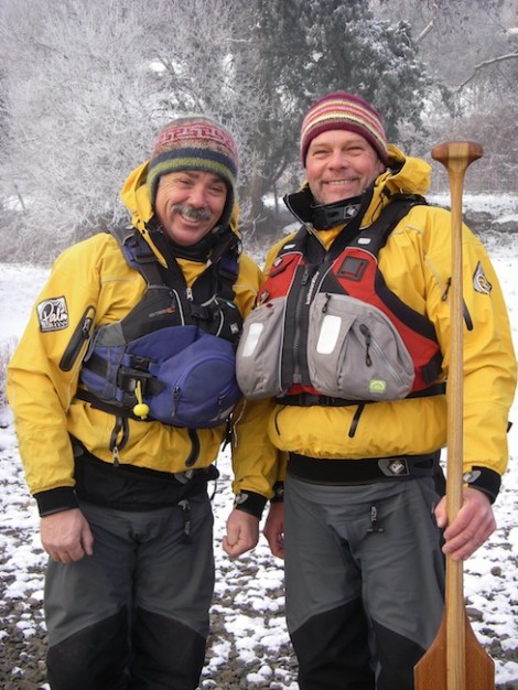
The Chuckle Brothers - me & Chris
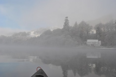
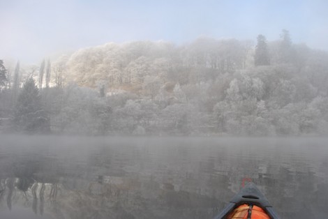
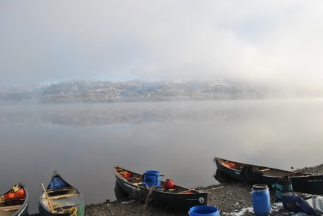
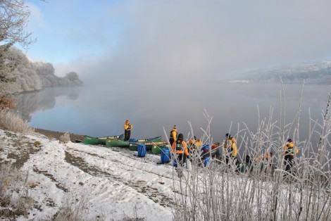
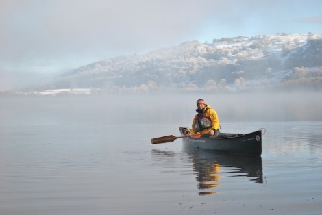
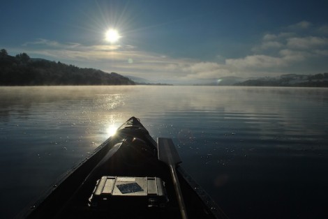
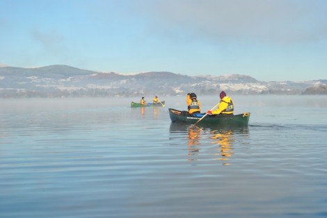
As Chris and I got down to the waters edge, the view was stunning and reminded me of the sort of thing you might expect to find on a Christmas card, very white and crisp. There was a mist hanging around over the water producing a very picturesque scene, with every now and then a quick glimpse of the sun. The students even commented on its resemblance of a scene out of Narnia. I have only experienced theses near perfect conditions once before on Bala Lake and it really is hard to try to describe them. I guess you would just have to have been there!
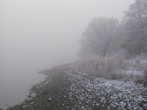
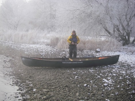
Jules, do I really have to go paddling? Its cold!
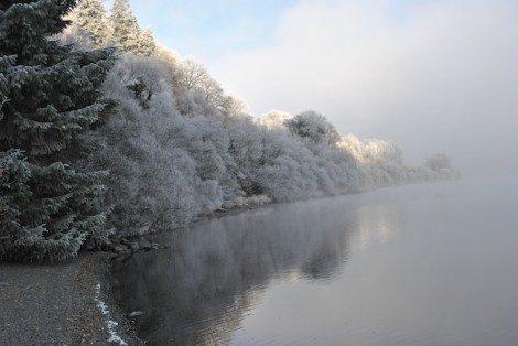
One of the many glimpses of the sun
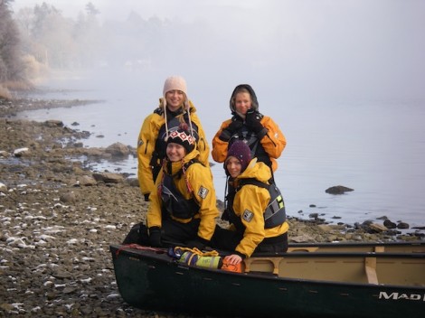
Smiling faces and ready for a paddling adventure
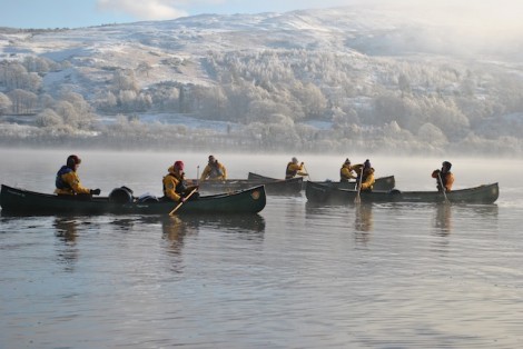
Boats loaded, group briefed we set off into the mist and headed south down the lake keeping the western shore to our right even though we couldn’t see it! It really was cold as we paddled into the magical silence except for the occasional splash from our paddles.
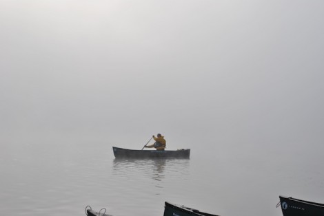
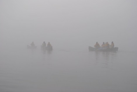
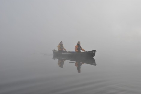
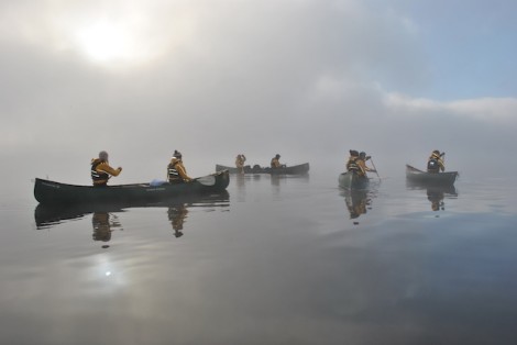
As we paddled along there were more frequent breaks in the mist and glimpses of the sun all adding to the ambiance. During one of these breaks we caught a glimpse of a small cottage on the shore. This seemed like an ideal place for a leg stretch, some lunch and a brew courtesy of our Kelly Kettle.
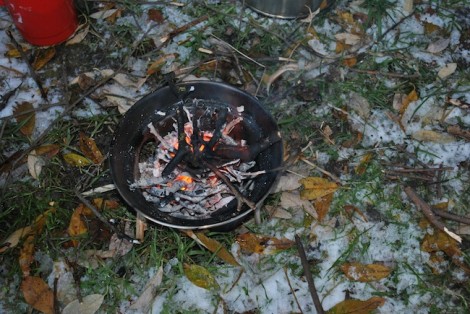
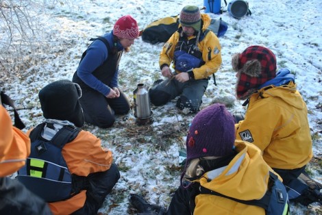
Kelly Kettle’s always seem to go down well with groups. I tend to show people how to light them using Birch bark and a firesteel. My preference for a firesteel over matches or a lighter is that it will still work even when it is wet.
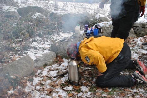
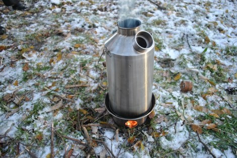
Lunch over with it was time to continue on our journey. So boats were packed, launched and we continued, but first we spent some time revisiting some of the core skills needed for paddling a canoe tandem.
I had chosen my two favorite deep water paddles for the day, both of which were hand made for me by a friend. I am hoping that in the new year he is going to educate me in how to make my own. So Andy if your reading this, big hint!
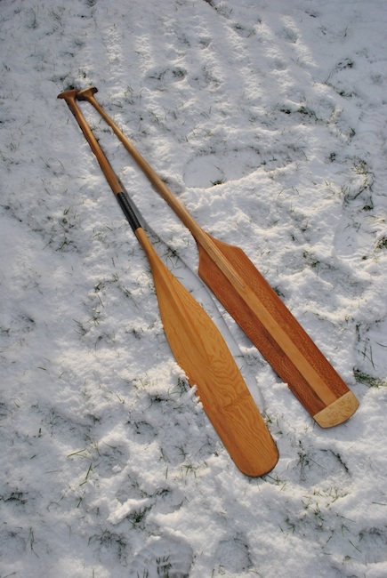
My deep water paddles. Otter tail (L) & Voyageur (R)
Both paddles are well suited to cruising on deep, flat water due to their low aspect. I suppose you could even consider them as your 4th & 5th gear, as opposed to a white water paddle being 1st & 2nd gear. The reason for the Voyageur’s distinct yet simplistic shape is two fold. Firstly it was easy for the Voyageurs to carve with its straight sides when on the trail, and secondly the obvious shoulders makes sure that any water drips run off here, rather than running down the shaft to the paddlers hands.
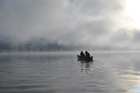
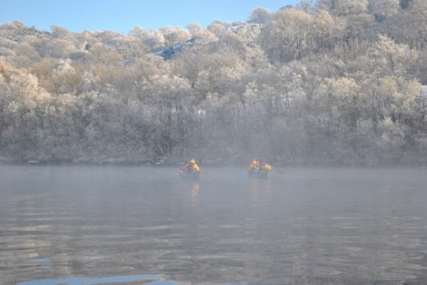
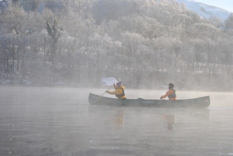
As we paddled once again into the mist the sun and blue sky was now becoming more frequent, and it wasnt long before we reached the eastern shore not far from Llangower Point. From here we headed North up the lake before finally heading back to our start point.
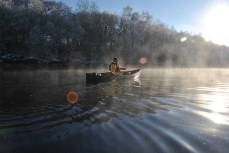
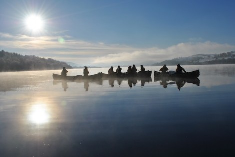
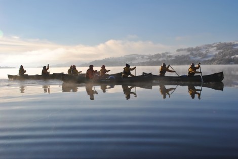
Once back safely on shore it was time for one last brew from the Kelly Kettle and an opportunity to finish off the chocolate biscuits and marshmallows.
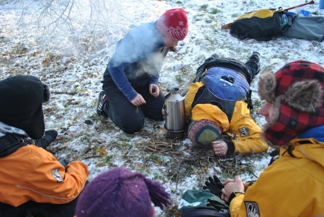
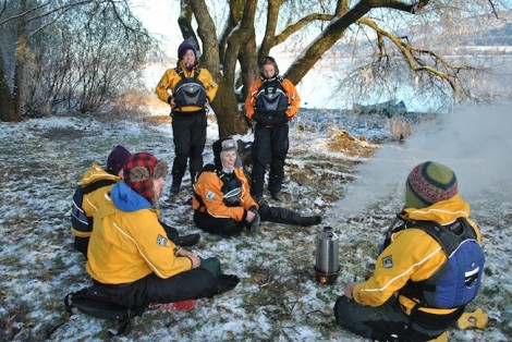
A great ending to a great day, especially in those conditions. I shall leave you with my final view of the day as the sun set.
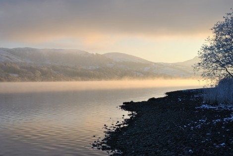
Looking back over Bala Lake as the sun sets
You can see all the photos from our day on the Voyageur Facebook page here.
See you on the water…
Jules
www.voyageur-coaching.co.uk
Any one that knows me will tell you that Rannoch Moor has to be one of my favorite remote/wilderness spots for a paddling adventures in Scotland. I have completed the cross Scotland trip starting at Kinloch Leven and finishing at Perth a number of times and never tire of it, but I had not completed the trip via the the smaller Lochs Ba and Laidon. So inspired by Justine Curgenven’s recent DVD release, “This is Canoeing” I decided to go and investigate the area in preparation for a future trip.
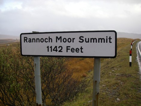
Rannoch Moor - Does what is says on the tin!
Rannoch Moor lies in the Scottish Highlands and can be accessed via the A82 as it winds its way from Glasgow, through Crianlarich onto Glencoe then on to the west coast and Fort William. Due to its height above sea level, its location in relation to the west coast and its weather, expect the climate to be unsettled, often bringing snow, sleet and heavy rain throughout the year. This trip would prove to be no exception!
As I was heading over to Ballachulish for the night and looking forward to the prospect of visiting the Clachaig Inn for a pint of Guinness, I thought I would check out the start point for my planned trip. My start point, Loch Ba is said to be one of Britain’s most remote and windswept points, as the A82 crosses over to Glencoe, and at a height of 1142 ft above sea level. The surrounding area is covered with numerous lochans, streams, peat bogs and mountains that rise on all sides to over 600m and in some cases alot higher.
On arriving at Loch Ba I felt a little deflated as I became aware of some quite serious looking roadworks going on right were I had intended launching! Not to be deterred I headed back from where I had just driven a short distance and in actual fact found a better launch spot with good parking on the opposite side of the road at Lochan Na Achlaise. Winner! The weather was cracking, the views were stunning and I was looking forward to my forthcoming adventure.


Looking across from my start point Lochan Na Achlaise, on a dry day!
The morning after my recce and visit to the Clachaig Inn dawned a little different to the previous day! It was poring with rain and blowing a gale, and this was at sea level. Not to miss the opportunity I ventured out and drove back up the Glencoe Pass to my start point.
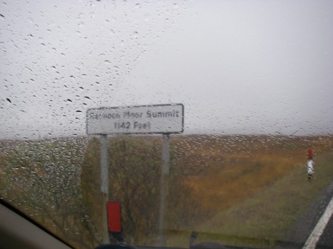
Not quite as I had remembered it form the previous day!
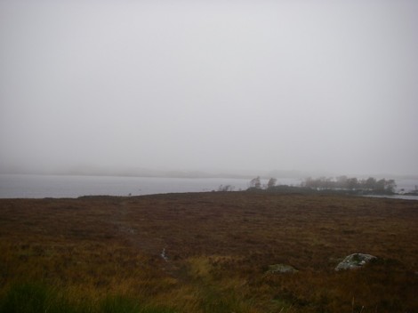
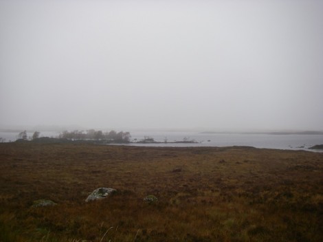
A different look to Rannoch Moor
My plan now was to head out of Loch Na Achalaise via a tributary that fed into Loch Ba. Then to paddle its length and again pick a tributary this time leading into Loch Laidon, then continuing on to Rannoch Station, an over night bivy and reverse the route back to where I had started. Easy!! Or not as the case may be.
As I unloaded my boat and kit in the wind and rain, a figure emerged from a rather steamed up 4×4. This turned out to be a guy visiting from Norway and in some broken English asked me as to my intentions. At this point he looked somewhat shocked, wished me luck and diapered back to the steamy 4×4.
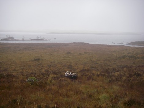
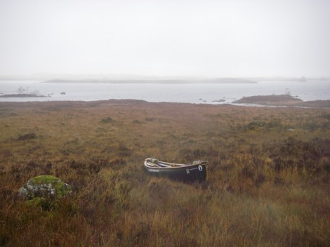
Getting my boat down to the water
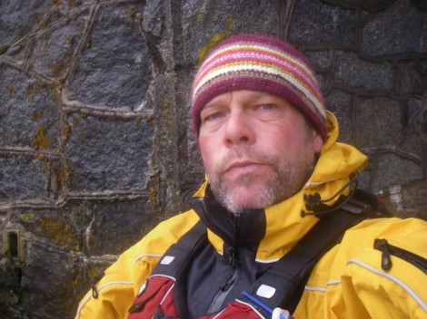
As I unloaded and launched my boat etc I became aware of a very strange noise coming from the mist. After having heard it several times it dawned on me as to what it was, a roaring Stag! At this time of year the Stags are in their rutting season and competing for the females (Hind). This roaring is a very distinct if not unnerving sound especially when it is coming out of the mist and you cant actually see whats making it. The Stags roar in order to maintain control over a group of females and to constantly drive away rival males. I was now hoping I might catch a glimpse of one of theses magnificent beasts roaring. Bit difficult in a bright yellow cag though!
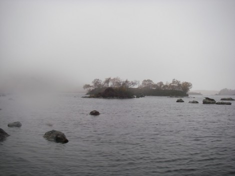
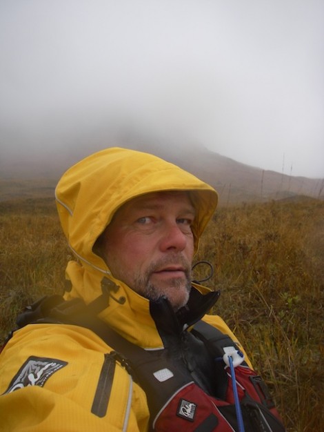
Time for a break whilst keeping an eye out for Stags
The weather was definitely getting worse, and I was beginning to think that maybe I wouldn’t make my goal and more to the point was this such a good idea? After a brief chat with my self I decided to continue and seek shelter under a small bridge over which the A82 ran and have some lunch. This comprised of some brown biscuits and vegetable spread followed by some fruit biscuits and chocolate all left over from a military ration pack I had recently used for some work.
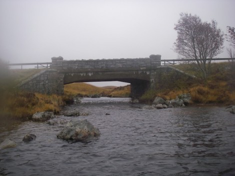
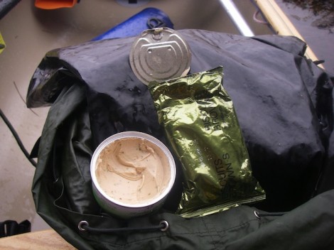
Lunch and a blast from my past
Savoring the exquisite cuisine
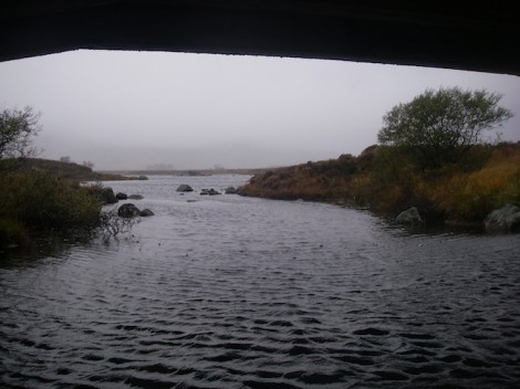
Looking back into Lochan Na Achlaise
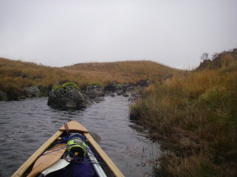
Time to portage
After my brief lunch it was time to move on, however as you can see from the picture my path was blocked largely due to a lack of water. My only option now being some form of portage. The ground was to too soft and boggy for a trolley, plus I’m not really a big fan of them. Carrying my boat on my shoulders with the aid of the Yoke was also not an option due to the soft uneven ground. This left me with the only option. Dragging! So I rigged a quick harness system and used the two half’s of my canoe pole like ski poles and set off looking something like a Polar explorer man-hauling a pulk. It wasn’t really possible to carry kit and drag my boat so I decided to carry my kit a short distance first and whilst doing so I could identify a suitable route to drag my boat along. Once my kit was dumped I could return unloaded and collect my boat. I use a similar routine when carrying my boat and adopt a preference for quite short legs or stages as I go. A stage was a convenient stopping place used by Voyageurs at which loads were dumped, and they were generally around six minutes apart. This being the length of time a man could walk with a good load without fatigue. The idea is that he would recuperate on the way back for the next load. It was taken from the native Indian system of packing allowing better time to be made.
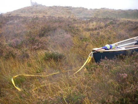
My simple harness
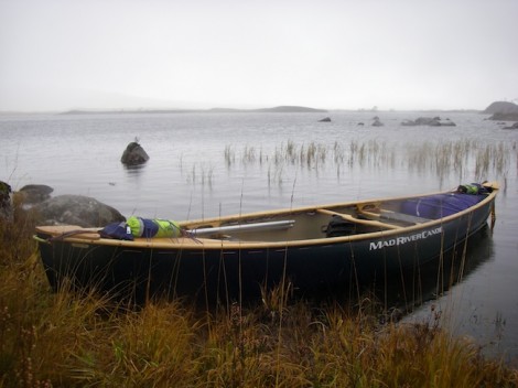
I eventually arrived at the start of Loch Ba and wasted no time continuing on my trip. However as I was about to get into my boat I noticed something moving in the grass. On closer inspection I discovered I had a friend in the form of a small frog!
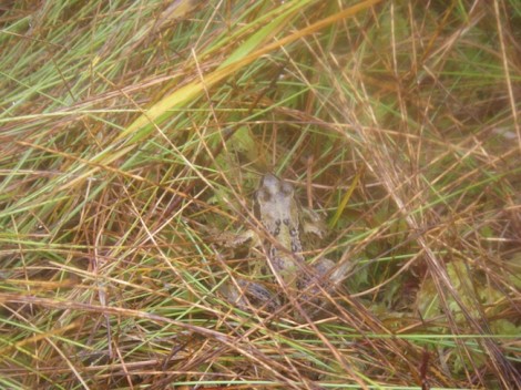
My little friend
Loch Ba is approximately 2.5 long and eventually leads into the River Ba which flows into Loch Laidon. It was around this point that the weather calmed down for a while and I was again aware of that haunting sound of the roaring Stags. I decided that as the noise seemed close I would investigate further and see if I could locate the Stag and possibly get a picture. I set off and sure enough during a brief break in the mist, a large stag in all its glory appeared about 150m in front of me, with another one on top of a rise some distance way. Between them was a group of 5 or 6 females (Hinds). I decided to try my luck and get closer, but as I have already said being in a bright yellow cag probably wasn’t the best idea. As I got closer and with one last roar the closest Stag took flight and disappeared with his hareem. I quickly grabbed the chance of a picture. Its not the best but here it is.
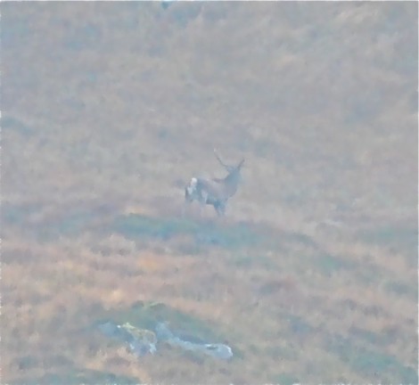
The Roaring Stag
After another couple of km dragging, carrying, poling, lining and paddling I entered Loach Laidon. This now felt very remote and wild and despite the weather the scene was stunning, I had a real sense of pleasure getting here. As if by magic a Royal Navy search and rescue helicopter appeared very low but above me. It was so low infact I could clearly see the pilots face. I guess they were just wondering what or who was up there dragging a canoe around in this weather. The side door slid open and the winch-man appeared signaling to me an OK sign with his thumb. I returned the gesture with both thumbs and with he a big smile on his face he returned in side, closed the door and as quickly as it had appeared it disappeared. A quite surreal experience!!
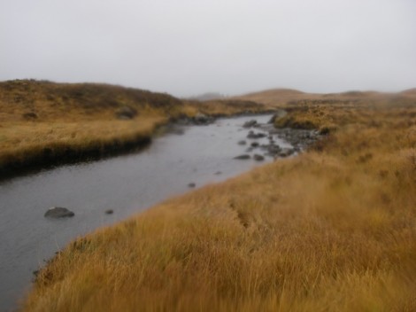
Unfortunately at this point my camera gave up the will to live! So no more pictures. I was now quite aware of time and the weather, as I had pretty much had the wind behind me all day aiding my progress. I was now just over half way down Loch Laidon and the weather was definitely worsening. If I cut my journey short now and started heading back I would probably make it back to the car that night. If I pushed on to the end of the Loch I couldn’t guarantee finding a suitable bivy spot, and if the weather deteriorated yet further over night then I couldn’t be sure I would get back.
Decision made I turned around and headed back. Batting into the wind was no pleasure I can promise you. By the time I reached the car the light was fading and I was tired but happy.
I now had a good idea of what would be involved when I attempt a crossing from here later next year. Another thought is to start down near Oban, up Loch Etive and then portage Glen Etive via road and tracks to reach Loch Ba and then continue the crossing via Loch’s Rannoch and Tummel etc. Either way it will make for an interesting tale.
Rannoch Moor really is a special place and I would encourage you to go and paddle it for your self. Remember though it is a serious trip and a remote environment so make sure you are well prepared for the weather you may encounter and carry the right safety kit.
Meanwhile I’m busy planning a winter trip starting at Mallaig journeying to Loch Arkaig and on to Fort William or even Ballachulish.
See you on the water….
Jules
www.voyageur-coaching.co.uk
Over the weekend we donned dry suits and took a few Mad River Canoes to join around 50 other paddlers taking part in the ’Rubbish River Run’ clean up paddle on the River Usk in Wales.
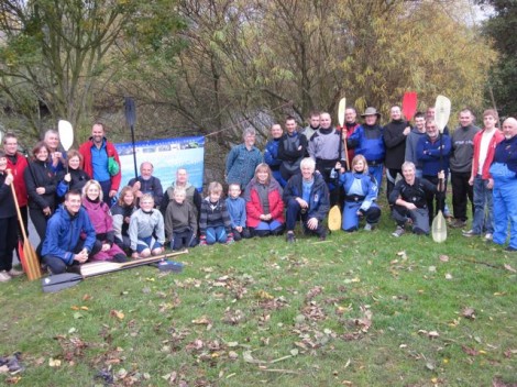
The river clean team ready to go
Flowing through the Brecon Beacons National park, the river Usk boasts a number of classic UK whitewater sections popular with paddlers through the winter months. In light of this the park authority have put paddling firmly on their radar with the launch of Splash, an initiative aimed at bringing together groups who use the river and other local water ways recreationally.
The Rubbish Run was the brainchild of Gez Richards, the parks recreational development officer. With help from local outdoor centres, paddling clubs and Tidy Wales, he decided it was time to raise paddler’s awareness of our role as custodians of the river environment and of course as a keen paddler himself, to get some profile for paddling activity in the area whilst doing it.
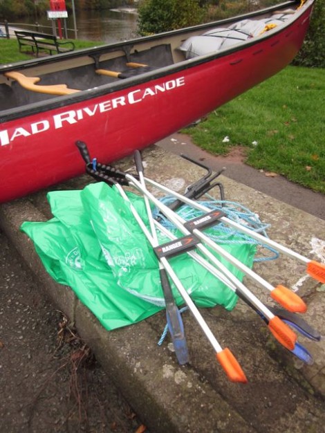
Tools for the job
Meeting up in the town of Brecon for a photo call and briefing, groups were allocated different sections of the river covering around 20 or so miles in total. Equipped with refuse bags, litter pickers and grappling hooks for any larger items, everyone went off in search of rubbish. Most debris found on stretches like this is a mix of plastic bags, litter wrappers and agricultural material, which gets caught up in the trees on either bank. Apart from the eyesore the real danger is for wildlife either eating or getting tangled up.
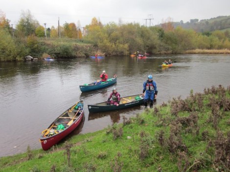
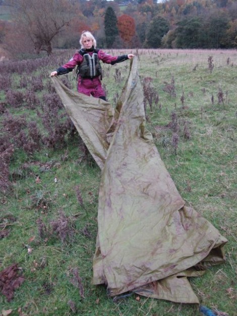
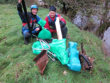
By the end of the day 54 full refuse sacks were collected and deposited at nominated roadside locations where the local refuse collectors had agreed to pick them. Along with the bags we also found a motley collection of rusting bikes, old tyres, gas canisters bits of drain pipe and a see-saw – quite a haul!
A big thanks to Gez for organising and all of the paddlers who turned out. If you are doing anything like this in your area let us know and we’ll give you a plug.
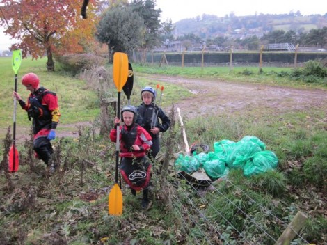
Last week I joined a couple of old friends Ken and Cilve for a trip from Glasbury to Hay on the River Wye in South Wales
The River Wye (Afon Gwy) is the fifth longest river in the UK and for parts of its length forms the border between England and Wales. Its source is in the Welsh mountains near Plynlimon and it is around 215 km in length. It flows through or near several towns and villages in South Wales including Rhayader, Builth Wells, Hay-on-Wye, Hereford, Ross-on-Wye, Symonds Yat and Monmouth finally meeting the Severn estuary just below Chepstow. Due to its slow flow it is a popular venue for canoeing especially for introducing beginners (grade 1-2), and hence the large number of local centers that use it. There also numerous company’s offering the hire of boats.
The area of Symonds Yat offers some more challenging paddling and the sections above Glasbury offer some good grade 3-4 rapids in the right conditions. This particular section from Glasbury to Hay is around 10 km in length and could be done in a couple of hours.
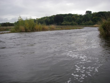
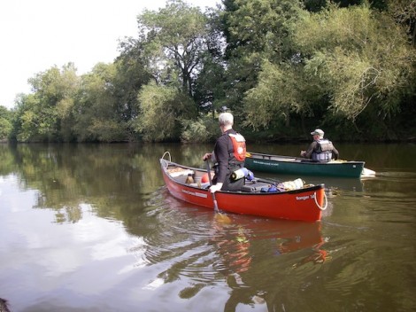
Tranquil surroundings near the start
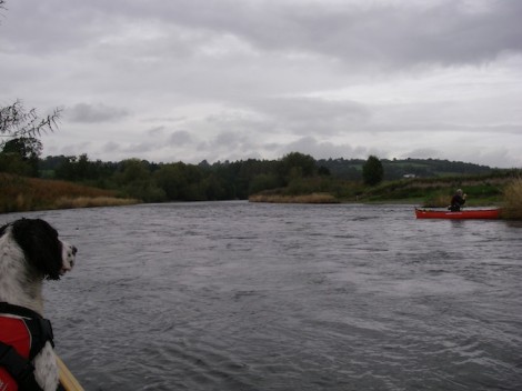
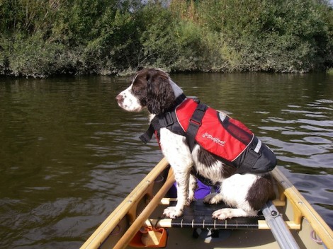
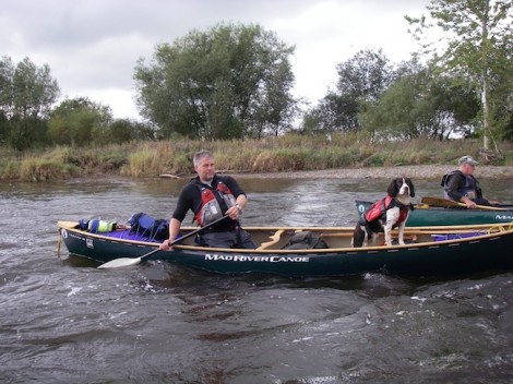
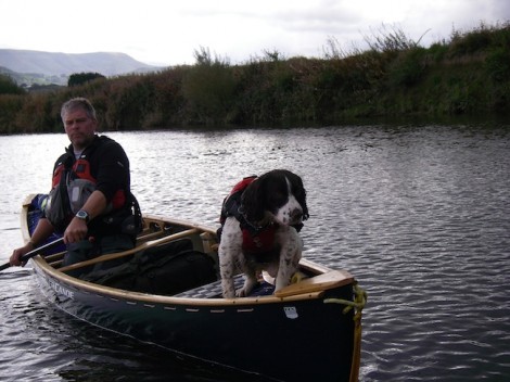
I was also accompanied on the day by trusted hound Rannoch. He is a five year old Springer Spaniel who just loves it in the canoe. He is real muck magnet, trust me when I say I could take him to the desert and he would find both mud and water! Inevitably the inside of my boat always ends up wet and very dirty. He doesn’t always get the chance to come on trips with me, but today was different. He is generally quite good in the boat and can be very useful addition for adjusting the trim when needed.
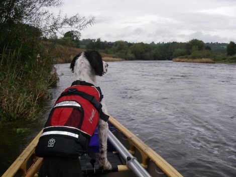
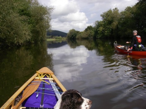
The rivers winds its way through the country side at a leisurely pace with the Black Mountains as a majestic back drop.
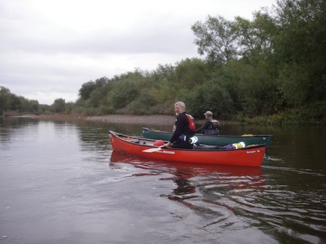
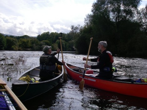
Ken and Clive
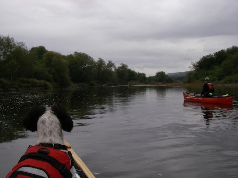
Rannoch keeping a watchful eye on the proceedings
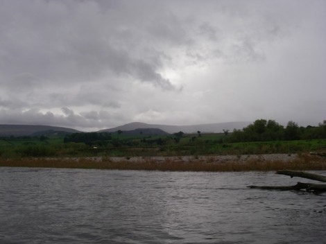
The Black Mountains in the distance
Despite the slow and tranquil flow of the river, some care should be taken as there are numerous dead and living trees in the river, forming quite large strainers. Carrying a folding saw is always a good idea.
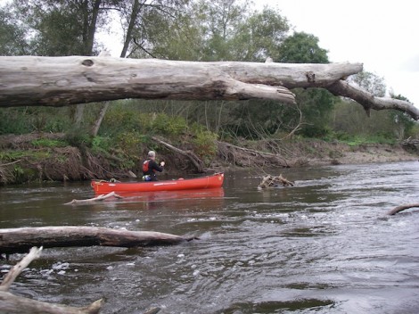
Ken and one of the many dead trees in the river
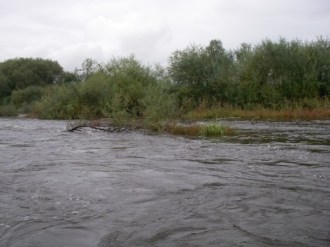
Th river has changed shape quite dramatically since I last paddled it a few years ago, with one large sweeping bend near the start now being replaced by a straight section. There are numerous opportunities to leave the main river and explore some the tributaries that join it. Good time to get the poles out me thinks!
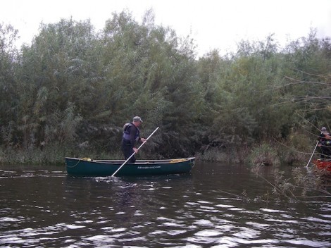
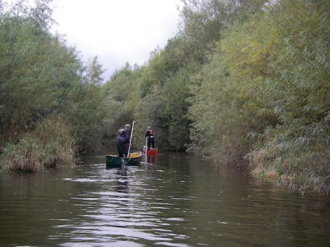
Ken and Clive off exploring
After a short stop for lunch we continued on our way. The weather had by now really improved and the sun was warming us nicely.
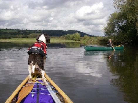
Rannoch offering Clive some coaching
Rannoch catching some rays
No, no mine is definitely bigger!
As we rounded a corner that led to a long straight the sun disappeared and it started to rain. In fact it started to pour down, so much so the rain was bouncing back up!
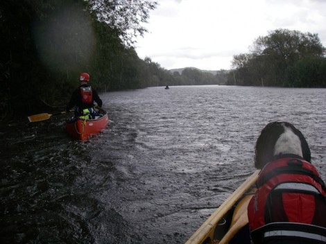
And so the rain started
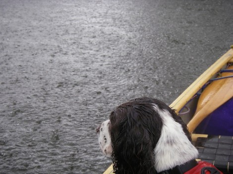
A very un-impressed Rannoch
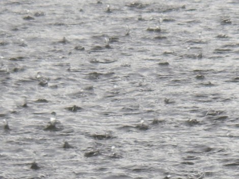
Bouncing rain!
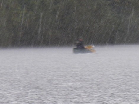
And then it rained some more
Then almost as quickly as it started, it stopped. We continued on our way past an old broken weir and on to the get out.
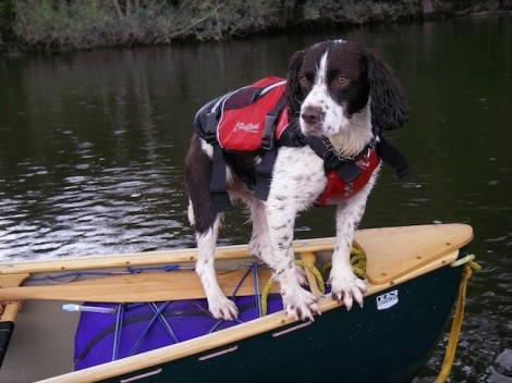
Rannoch on Iceberg watch
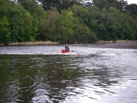
Approaching the old broken weir
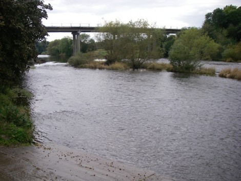
Looking back up the river from the get out
The get out is directly after the bridge in Hay on river right. This can be quite busy with other users, especially groups.
I’m not sure if I have really done this trip a justice? It really is a great day out whether you’re looking for a relaxing days paddle or as a venue for introducing people to open canoe. The trip can be extended as much as you like or done as a multi day trip all the way to Chepstow. Wild camping is not really option but there are a number of campsites along the way, and pubs offering fine ales and good food. So if you haven’t done it yet, add it to your to do list.
I had a grand day out and so did Rannoch. Thanks to Ken and Clive for their company.
See you on the water…
Jules
www.voyageur-coaching.co.uk
I recently had the pleasure of paddling from Glyndyffrdy to the Horseshoe Falls on the River Dee in North Wales. I was there to assess a number of candidates for the British Canoe Union (BCU) four star leader award in canoe. This award allows individuals to lead a group in moderate water conditions. Moderate water is defined as: large areas of open water (lakes,lochs) with winds up to force 4, and grade 2 rivers.
The River Dee or Afon Dyfrdwy as it is known in Welsh, starts in the hills south west of Bala and then flows for about 10 km before entering Bala Lake (Llyn Tegid). The canoeing sections start from below the lake and work their way through the country side to Llangollen. After this the river continues its path cross country, leaving Wales and entering England shortly before Chester, where it then flows flows into the sea. Access can be a problem on some sections, however this section is regularly paddled and parking is courtesy of a local farmer who charges a small fee for the pleasure.
As a an indication to the level on the day you can check the gauge at Mile End Mill. On this day it was on 11 proving good conditions of continuous grade 2.
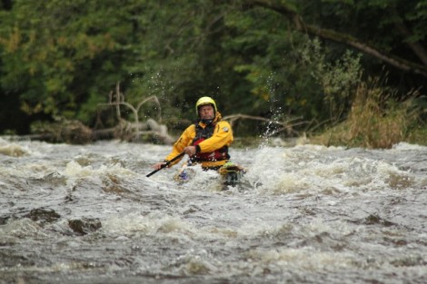
Good conditions for this section
I was joined on the day by my friend and fellow coach Chris
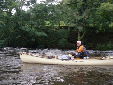
My partner in crime Chris
This really is a lovely section of river at the grade. Large sections of grade 2 rapids, with waves to be surfed interspersed with short flat sections. Add to this the stunning scenery with the hills as a back drop. Around half way down a nice surf wave can usually be found, however at this level today it was washed out.
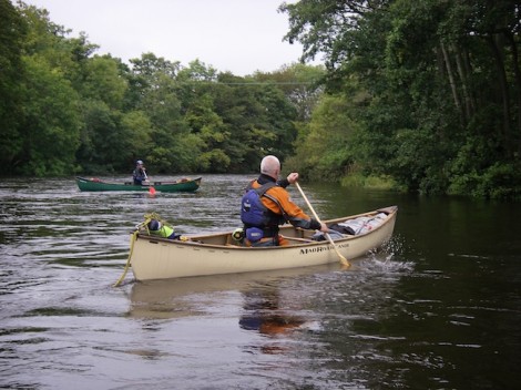
Flat section close to the get on
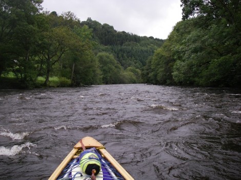
Approaching some rapids
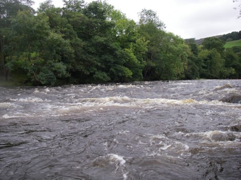
Looking back up one of the rapids
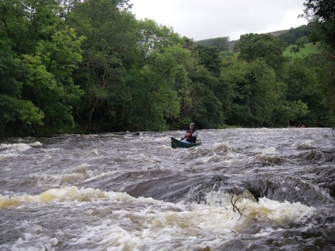
One of the group conentrating hard
Unlike paddling a kayak open boaters have a real chance of swamping. This can be good fun if just messing about or on a short paddle, but if the boat was fully laden as for a multi day trip then it could become an issue. A useful strategy when running sections like this in open boat is to try and slow your self down, or check your speed in order to avoid swamping. Combine this with use of the reverse ferry and a clean or even dry line can be achieved. An alternative to this is, where you find a downstream ‘V’ or tongue is to adopt a style similar to the Voyageurs, who ran a line slightly to one side of the apex of the ‘V’ resulting in a drier descent. The line was know as a ‘filet d’eau’ or fillet of water.
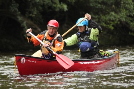
Iain and David joined us for the day
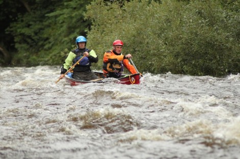
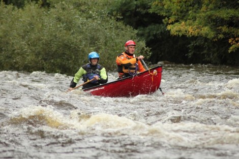
I t was nice to see that a tandem crew joined us for the day, which gave he candidates on assessment a bit more to think about.
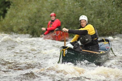
Andy one minute a paddlemaker, next a paddler!
As it was a leadership award Chris took it upon himself to discuss the different leadership styles with the group and introduced them to the lesser known style AMFYOYO!! This is only to be used in times when all else has failed, and stands for “Adios my friend your on your own!” I think we can all think of a situation when this was probably quite apt.
Leadership need not be difficult in this environment if a logical approach is taken to it. Ask your self a few simple questions:
Where do I want to go or be?
Can I see where I want to go or be? If not move somewhere you can
What hazards if any are between me and my destination, and how big a hazard do they pose?
Can the hazard/s be avoided or what can I do to lessen the result?
How many boats or swimmers can I deal with here at one time?
What style should I use? One at a time, eddy hop, leap frog etc
Remember if all else fails.. AMFYOYO, But don’t. quote me on that
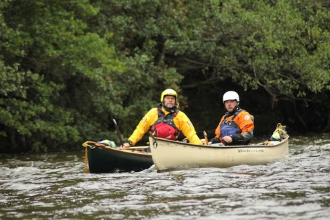
Chris and I discussing the merits of AMFYOYO!
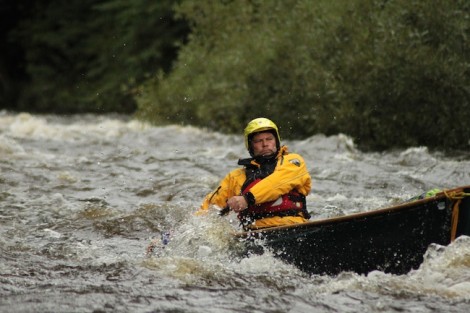
The day moved on and lots more fun was to had on the various sections of grade 2. A brief stop for lunch was followed by some nice rapids. Thank you to Simon (aka Redframe) for the following shots of myself doing what I enjoy.
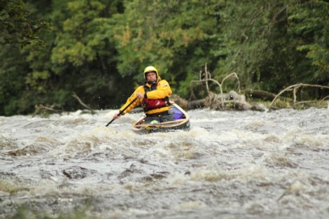
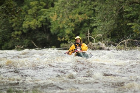
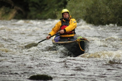
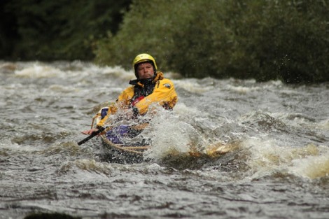
There was then one last rapid that led to a slow flat section which gave us warning of the approaching Horse Shoe Falls. Great care should be taken on approaching the falls especially at this level as a powerful recirculation is formed below the weir. Egress early on river left and portage round, or if care is taken in lower conditions and keeping well clear of the weir there is the option of a sneak down the side.
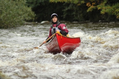
In case you wondered, no this is not me! Its Sue strutting her stuff
This was all the fun over with for now. All that was left to do was to paddle down the canal to the Eisteddfod International Pavilion (small parking fee) where we had left the vehicles. Alternatively the river could be paddled further taking in the section of the Serpents Tale (grade 3 -4) and continuing down grade 2 rapids to the white water center at Mile End Mill.
The section described here from Glyndyffrdy to the Horseshoe Falls is approximately 10 km (6 miles) in length and is a really good day out.
A big thank you to all of that gave your time and joined me for the day.
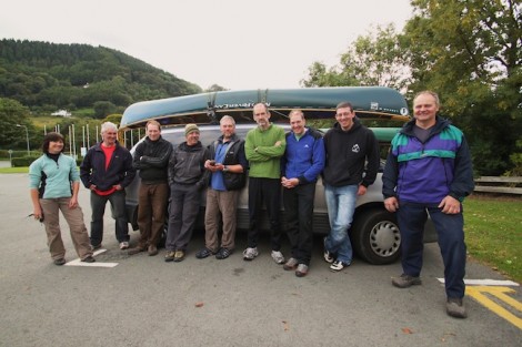
The motley crew
See you on the water…
Jules
www.voyageur-coaching.co.uk
Day two started much as day one had ended, cloudy and overcast with a stiffening wind. I was awake at first light as usual and used this time to plan the day.
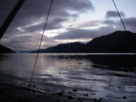
A dawn view from my tarp
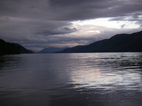
Looking south from where we had come from
On waking I was quite surprised to notice the that the water that was some two feet plus away from my tarp the previous night, was now considerably closer. In fact I could actually lean out of my tarp and fill my mug from the loch. It had rained the day before admittedly, but with the loch the size it is I was surprised to see how much it had risen overnight. A good learning point for the future me thinks!
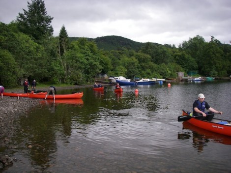
Leaving Foyers on day 2
Breakfast done and kit packed we set off hoping to make it to the end of the Loch on time, as planned for our pick up.
When tackling a multi day journey like this, some thought should be given as to how you carry your kit and load it into your canoe. As most of my journeying is solo I tend to adopt a three line system. First line is what I carry on my person or in my buoyancy aid, a bit like a small survival kit just in case I become separated from my boat and my main kit. This tends to be a good knife, a folding saw and a fire steel for lighting fire along with a bit of food (nibbles), simple first aid (electrical tape) and a light source.
Second line is a waterproofed day sack with all the stuff I may need during the day. This includes a warm top, hat, sail, food, drink,a comprehensive first aid kit and any thing else that may be needed to deal with the days events.
My third line is my main sack, containing all my important warm dry stuff like sleeping bag, spare clothes etc. Once this is packed and sealed at the start of day, it doesn’t get opened again until I make camp. This way there is little chance of things getting wet or lost.
As I was on open water I opted to lash my kit into the boat instead of leashes as once my boat was trimmed for the day little adjustment should be needed. Not only that but should the boat become swamped the lashed in kit can add buoyancy to a swamped boat.
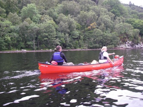
Back on the western shoreline
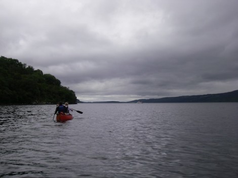
The group had asked that we cross back over to the Western shoreline in order that they could have a better look at Urquhart Castle. Though now extensively ruined, the castle was in its day one of the largest strongholds of medieval Scotland. It is also near here that the majority of the sightings of Nessie occur!
So the plan now was to head further up the Eastern shore to Inverfarigaig before crossing back over to the castle. The wind was now quite fresh, and as we set off across it became apparent that one of the tandem crews was having directional issues. My only option was to take their painter and tow them the 1.5 km or so to the other side. Trim is really important when paddling canoe, especially in windy conditions. It can make the difference between a good day or a bad one.
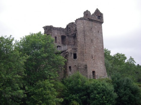
Urquhart Castle
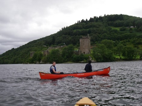
After a short stop for lunch we continued on our way. Whilst crossing Urquhart Bay a strong gust of wind came in from our left. This very quickly carried one of the boats plus the boat it was towing over 1 km out into the loch. Beware of strong of wind gusts funneled in by the shape of the valleys and surrounding land mass.
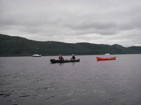
The boat that was blown away
Once re-grouped we continued on our way. The plan now was to get a pick up from Dores, just short of the end and back on the eastern side. It’s a long story as to the reason why we would have to cross the loch again!
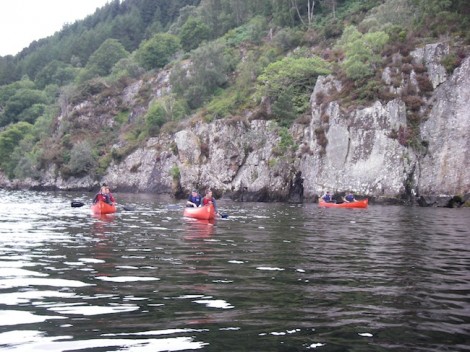
A sheltered and more relaxed paddle
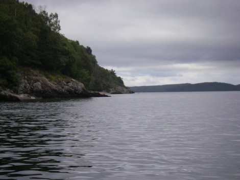
The end in sight and Dores over to the right
The wind again picked up, and as had always been the case so far not going in our direction. As we neared Dores this wind had become quite fresh, so we made the most of any shelter created by the shore and stayed close in. The prospect of another crossing didn’t particularly excite me, especially after having had to tow a boat in the morning and the fact that people were now starting to feel a bit fatigued. Add to this the fact the crossing would be around 2 km or more, so we made a quick stop for a brew and I concocted a new plan. I made a quick call to our pick up and instead arranged them to meet us on the beach at Lochend.
Despite the fact that it appeared we were paddling into wind the clouds behind were getting darker and thicker. In fact it almost appeared what was behind us may be catching us up!
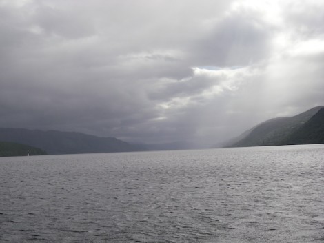
The clouds fast catching us up
As is quite often the case when you have spent all day paddling into the wind, it suddenly changed direction and gave a slight helping hand for the last km or so. As the beach in the distance grew closer there was a certain air of success amongst the group . Only two days previously it had been a real challenge for them to paddle a few hundred metres with any hint of real control and for some it had been their first time ever in an open canoe. Now they had some 23 miles of water behind them and they really could say that they had paddled from end to end on Loch Ness.
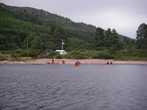
Our finish point, the beach at Lochend
I would recommend this trip to anyone who enjoys touring/journeying in open canoe. It can either be done as the trip described or as a part of the Caledonian Canal if looking for a longer trip l. There are lots of opportunities for wild camping, but I would recommend keeping this to the eastern side of the loch, as the A82 runs very close along the western shore potentially making for a noisy camp. The weather can really play a big part in this trip, and effect the outcomes. As mentioned the waves or swell can be quite big with the potential for swamping the boat. Make sure you check the forecast in advance and if in any doubt wait for better weather.
Well done to the group and I hope that during the week I manged to inspire and enthuse you enough about open canoeing that you will, if you haven’t already done so go and have your own canoe adventures.
See you on the water…
Jules
www.voyageur-coaching.co.uk


