I was recently asked to spend a week introducing a group of people to Open Canoeing in the Scotland. After having spent only a day and a half getting to grips with the basics as a tandem crew, I decided that it was time to venture a little further and attempt a two day journey with an over night camp. What better way to learn about the subject than by simply going and doing it? After a brief chat with my group whilst traveling back from a day on Loch Ussie, a unanimous decision was reached. The journey/camp was to be on the classic Loch Ness.
Loch Ness is a very large, and very deep fresh water loch in the Scottish Highlands, and is part of a cross Scotland route know as the Caledonian Cannal which in its self is part of the Great Glen. It lies South of Inverness and is some 23 miles (37km) in length. Despite its size it is the second largest Scottish loch by surface area after Loch Lommond . It is probably best know for the alleged sightings of the legendary Loch Ness Monster, otherwise know as ‘Nessie’.
I feel the open canoe can really come into its own when introducing people to paddlesport. It is a great way to encourage teamwork, communication and trust especially when tandem crews are used. Not only that but it really doesn’t take that long to give people the basics to get going and then head off on some journeys.
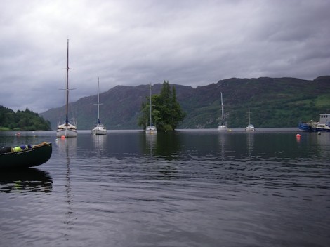
Looking out from our start point towards Cherry Island
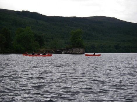
Passing the old pier
Our drop off point was not far outside Fort August on a midge infested slipway looking out to Cherry Island, which is the only Island on Loch Ness. Although all that can be seen today is a rocky tree clad island, it is in fact man made and known as a crannog.
Midges don’t normally bother me too much but these were really bugging me! So we quickly unloaded the boats and kit and had a chat about our options. The decision was made that in order to claim we had truly paddled from end to end, we would firstly have to head back towards Fort Augustus to where the River Oich entered the loch and a small wooden bridge crossed it. After a brief stop we turned around and started to head North. 23 miles of open water now lay between us and the end!
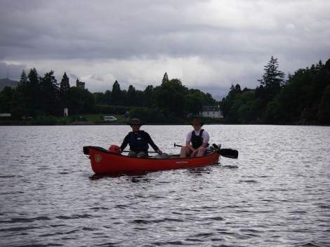
Heading back to Fort Augustus & the River Oich
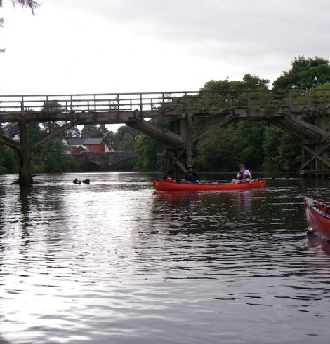
Our true start point, the bridge over the River Oich
We made our way up the Western side of the Loch past Port Clair and on to Invermoriston where the River Moriston flows into the loch. Unfortunately any wind that was present was blowing in the wrong direction, so any chance of a helping hand or the opportunity for a sail was out of the question. The wind on the loch can pose quite a problem for the paddler, as there is potentially a long fetch (distance the wind can travel over the water) and the swell or waves created can easily swamp a canoe, so care should be taken.
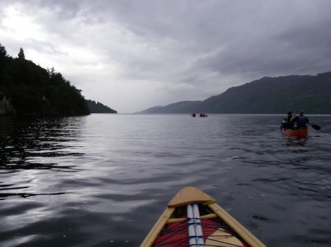
23 miles of water between us and the end!
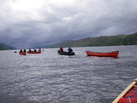
The group heading North
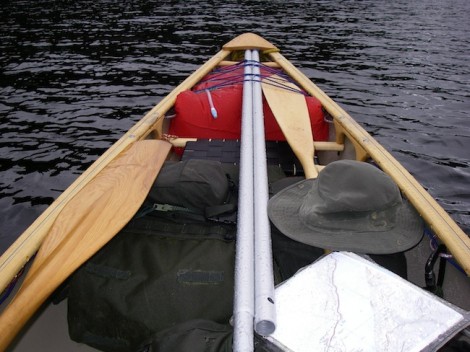
My well laden boat
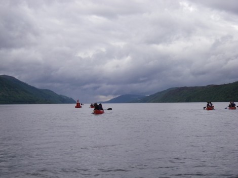
Passing Port Clair
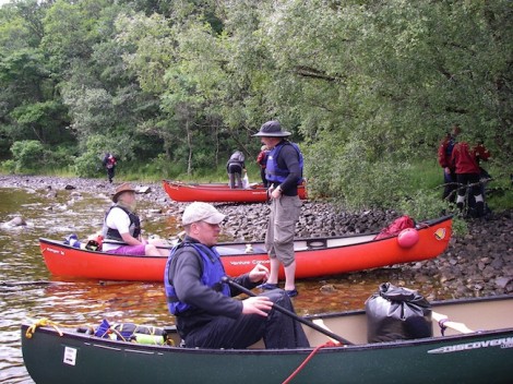
One of the many stops
Port Clair and Invermoriston were now some distance behind us and we didn’t appear to making as much ground as I had hoped. To make things worse as we headed for Alltsigh we could see a storm in the distance which was definitely heading our way.
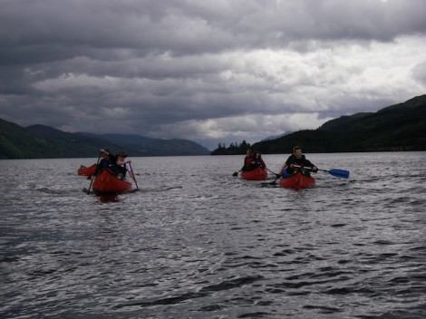
The darkening clouds offering us warning of what was to come!
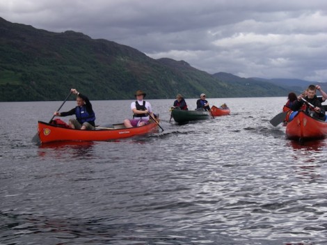
Brighter weather followed
Not sure if its a good thing or not that you can see what’s coming, I mean do you really want to know that very soon your going to get very wet! Sure enough about twenty minutes later it hit us head on. Strong squally winds and torrential rain. This forced us to stop and take refuge in the trees along side. The group produced some hot food and entertained themselves whilst I decided on a plan of action. As if by magic after forty minutes or so it stopped and the sun broke through. It was now getting quite late with not much light left so we quickly packed up and set off, crossing to the Eastern side and heading for Foyers where I had planned to camp for the night. This would then mean that we were as good as half way.
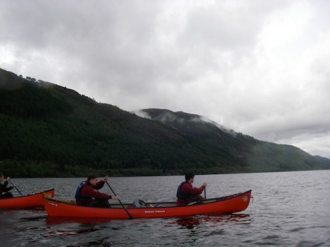
Heading for the Eastern shoreline
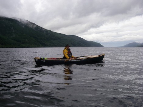
Me half way across
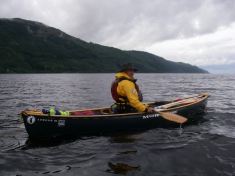
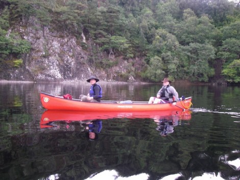
Smiling faces and better weather over on the Eastern shore
Once we had safely crossed to the other shore a short paddle brought us to Foyers. After a quick recce I found a nice little sheltered beach not far from where the River Foyers enters the Loch.
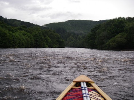
River Foyers
Not long after landing the group had set up camp and had got some food on the go. They had opted to use tents, but as usual I had gone for a boat and tarp combination. I rarely use tents if I can help it, as tarps are alot more flexible and rather more in keeping with the traditions of the open canoe. With some thought and experimentation a good shelter can be produced that will protect you well in the most challenging conditions. In this case because I chose to camp on the beach I used my split canoe pole to form a frame. Due to the stony environment of the beach tent pegs weren’t an option, so instead I tied my guy-lines onto pieces of driftwood I had found and buried them under large piles of stones. I like to use waterproof cotton tarps as opposed to nylon. My main reason being that if I choose to use an open fire for heat and cooking there is less of a chance that holes will be created by random sparks.
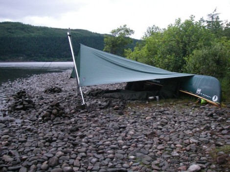
Home sweet home
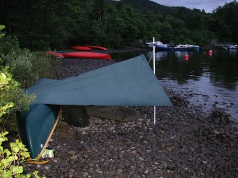
After a good meal I decided to explore the local area a little before hitting the sack. I had noticed quite a strong aroma from around the area of my tarp and it didn’t take long before I found its source. Just behind where I had pitched was some wild mint, so it made sense to have a quick brew of mint tea before bed.
With the sun setting I was happy in knowing that we had at least made it half way. I was left with thoughts of what the following day would offer, or more importantly what the weather would throw at us?
I will leave you with this parting shot.
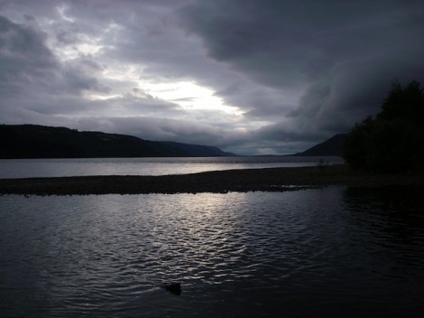
Sunset over Loch Ness from Foyers
To be continued…
See you on the water ….
Jules
www.voyageur-coaching.co.uk
This is another tale from my recent trip to Scotland.
After an overnight drive I arrived in Kinloch Rannoch at around 3 am and knowing the forecast for the day was good decided to snatch an hour or so sleep before setting off on my trip. A short time later I awoke as the sun broke through, and I was greeted with the stunning early morning view of Loch Rannoch.
Not wanting to miss the opportunity of a day of solitude and paddling on my own, I quickly unloaded my boat, kitted up and was on the water leaving the sheltered beach behind me by 6 am.
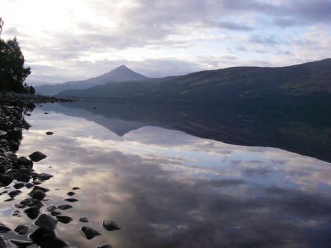
Early morning over Loch Rannoch looking back towards Kinloch Rannoch
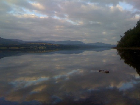
From the same place but this time looking North. Stunning!
Does what it says on the tin!
The area around Rannoch Moor and Loch Rannoch has to be one of my favourites, so much so that I named my dog Rannoch!
Loch Rannoch its self lies to the East of Rannoch Moor and North of Sterling in the North of Scotland. It is easily accessed from Pitlochry on the A9, which is one of the major road routes through Scotland. It is part of a classic and very committing cross Scotland trip, which starts at Kin Loch Leven south of Fort William and ends over in Perth on the East coast. The Loch it’s self is around 15 km long with lots of opportunities for stopping and wild camps. Due to the mountainous terrain, and the surrounding wooded areas it almost has that Canadian feel about it.
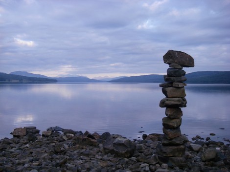
The view from my start point on the beach looking North
My aim had been to complete a short section of this route, by paddling the length/around Loch Rannoch, portage into Dunalastair Water then down the River Tummel through Loch Tummel and finish up somewhere around Pitlochry.
In keeping with the ways of the Voyageurs I had opted for a “Hudsons Bay Start.” This was basically a practice run for the Voyageurs to make sure that they had the right equipment and that things worked as they should before heading off into the wilderness. It involved a short first day, setting up camp early and not too far from home incase there were any issues that needed them to return home to be dealt with.
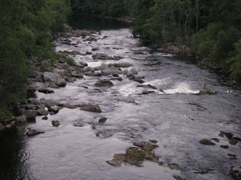
A rather low River Tummel
However as they say “All good plans fail at their first contact with the enemy!” and mine certainly did, as the water in the River Tummel was very low. I decided this probably wouldn’t make for enjoyable trip, and so opted to circumnavigate the loch, portage into Dunalastair Water and spend some time exploring it.
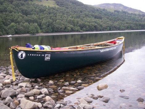
My trusty steed, loaded and ready
So shortly after 6 am with my trusted steed loaded and ready, I set off. I chose my Mad River Legend, not the best choice for an open water trip as it is more suited to moving water. However as I only had the room for one boat on this trip, and as my plans for later that week included paddling some rivers then it made sense to take it.
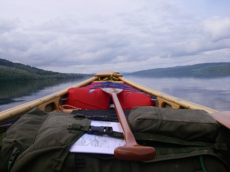
Headed North
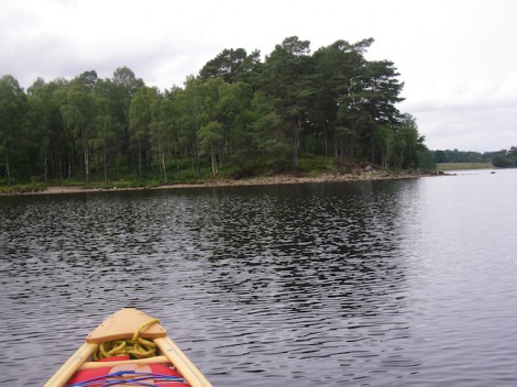
The first of my stops
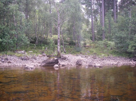
One of the many sheltered bays, ideal for a wild camp
As those who know me will tell you, I am some what of a self confessed Bushcraft geek and love foraging around for things I can use during trips. This little adventure was to be no different. In this instance during a stop it was an acompliment of Bilberries to add to my planed breakfast of porridge and some Birch bark to help light my fire and Kelly Kettle. Bilberries are basically a smaller and tastier European variety of the Blueberry, and in Scotland are known as Blaeberries. I will talk more about Kelly Kettles in a future blog with tips on using them.
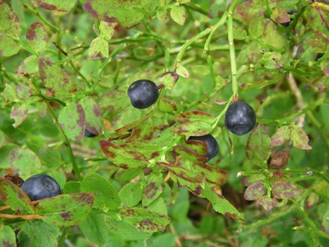
Bilberry or Blaeberry?
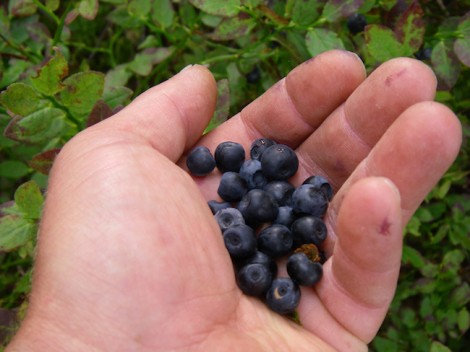
A good collection of Bilberries destined for my porridge

Breakfast with a view
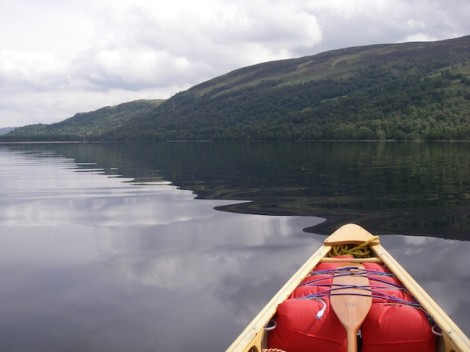
Looking across the Loch
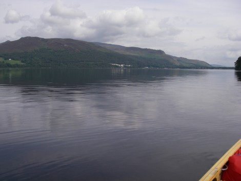
Heading back down the Loch towards Kinloch Rannoch
Fed and watered I continued on my way and by late afternoon I had completed a full circuit of the Loch. The weather was great and the scenery stunning. After another of many short stops I portaged into Dunalastair Water and found a bivy spot for the night.
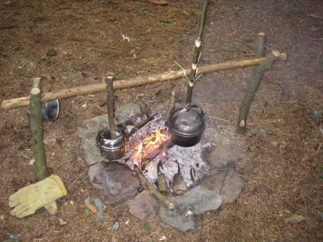
Evening meal on the go
Next morning I was again up early and explored the area before finally heading back to my original start point. I can thoroughly recommend the area and the trip. The opportunities for wild camping are plenty and there are numerous options to either extend the trip or to include it as part of longer trip.
I hope you have found this interesting and may be it will inspire some of you to have some canoe ventures of your own.
See you on the water…
Jules
www.voyageur-coaching.co.uk
This weekend the Song of the Paddle canoe forum held there first Big Meet on Ullswater in the Lake District. Palm went along with the Mad River Canoes demo fleet to support the event.
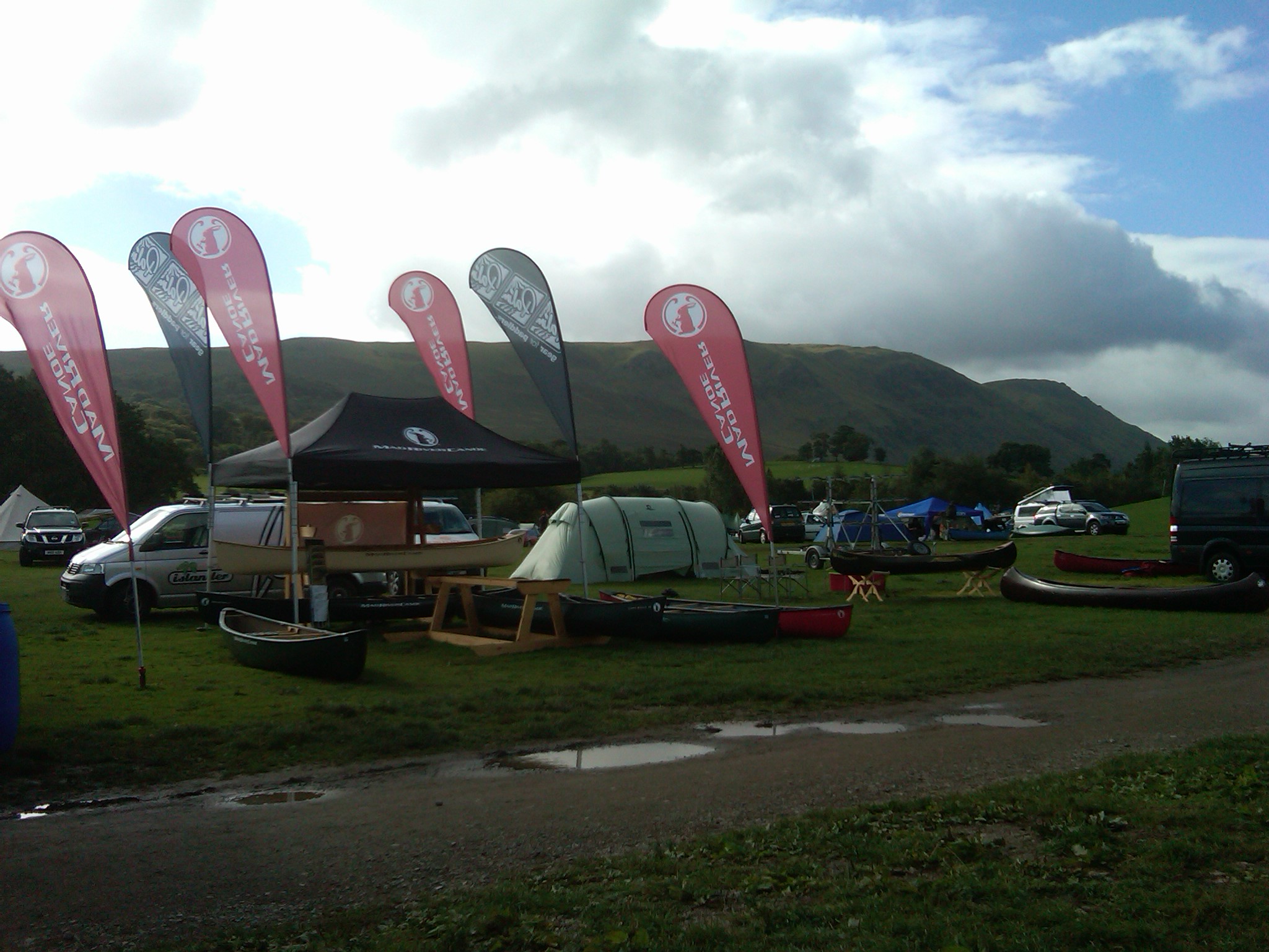
The Lake District is one of the only places where is can be sunny and rain at the same time and the wind caused a few challenges.
About 150 canoiests made there way to the event which had a very sociable feel and I met some really lovely people who all imparted a little knowledge my way.
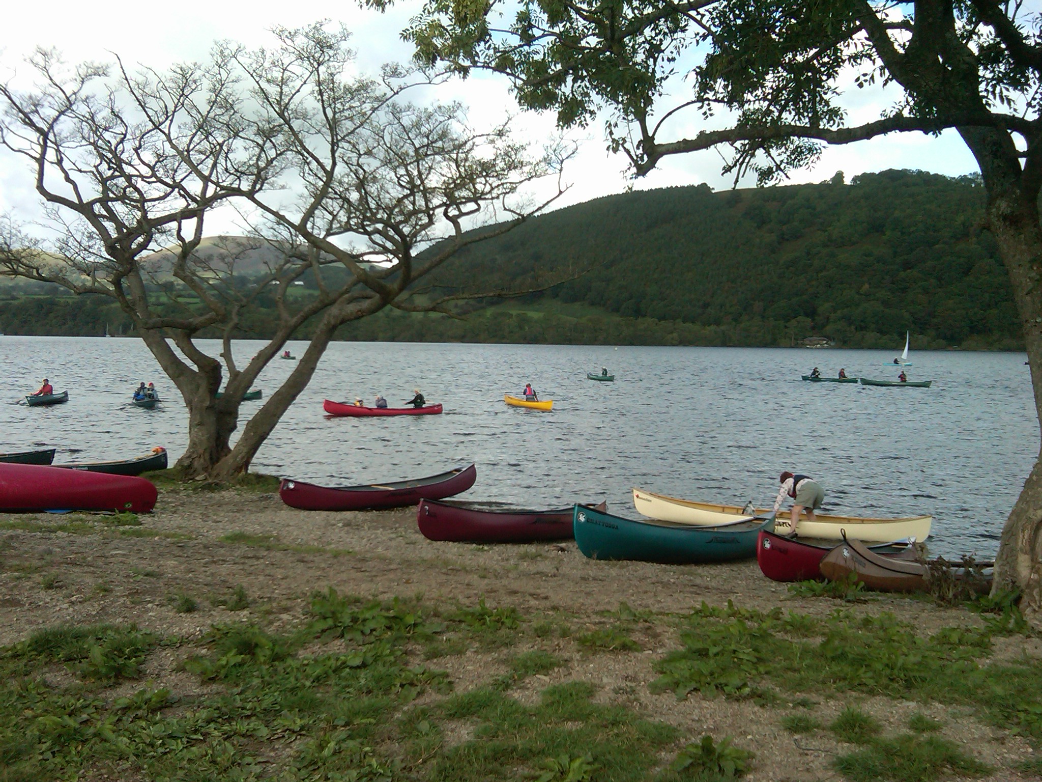
Being in my infancy of converting to a canoeist having kayaked since a young age, this event help me to learn from the forum members and experts more about this aspect of paddlesport. I now know how to lace and lash and the reasons why, my first attempt had a little scrutinising!
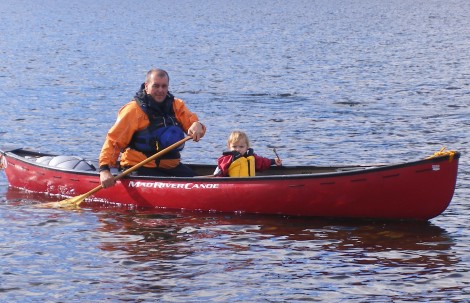
Below a rarely seen photo of me, I managed to get out for a paddle with my young daughter, Alexa Grace (23 months)
Thanks to everyone and hope to meet you all again soon!
See you out there,
Ben
It was whilst I was up in the North of Scotland doing a recce for a future expedition next year, and working that I came across this little gem of a trip for open boaters. It takes in a number of Highland Lochs and rivers as it winds its way down from the high ground heading east to sea level. It starts at Loch a Chroisg, Achnasheen some 40 miles west of Inverness, and ends at Connon Bridge just outside of Dingwall, which is on the Cromaty Firth.
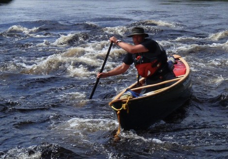
I always feel Scotland has so much to offer the open boater, with very few if any access issues and the ability to wild camp in most areas. Add to this the real feeling of remoteness that can be achieved, and it makes it the closest thing to paddling in Canada most people could experience in this country. It also gave me a great opportunity to try out my new Mad River Legend.
I was joined on this trip by a good friend and paddling partner Andy, who produces some fine wooden paddles in his spare time. In fact this winter I am hoping he will educate me in the skill to produce my own. I will keep you posted.
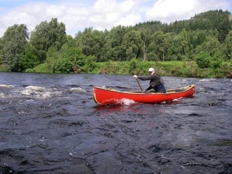
We started at a very open and wind swept Loch a Chrosig and headed east down the River Bran, which makes for an interesting paddle interspersed with need to use a pole or line every now and then. This eventually winds its way down to Loch a Chulinn followed by a short 2km portage around one of several power stations and into Loch Luichart. Again a very open Loch and exposed to westerly winds. At this point we played with the idea of putting a sail up but thought better of it as by this time the waves around us were rather large and there was a risk of swamping. A rather comical moment occurred here as we suddenly noticed a deer very close by. Strange to see only one we thought, however just like a scene from old black and white cowboy film where the Indians surround them, heads appeared one by one leading away up the hill and into the distance. You had to be there I guess! Despite being given some local intelligence we failed to see any Eagles however.
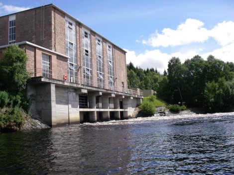
One of the many power stations on route
That night we endured a rather wet and windy bivy and at times battled with the midges. At this point I was really glad we had stopped off in Dingwall and bought some midge jackets, not hoods but jackets!
Next morning we again set off and tackled another of the portages around a power station and a short gorge section onto the River Connon.

Start of the River Connon looking back towards Loch Luichart and the gorg
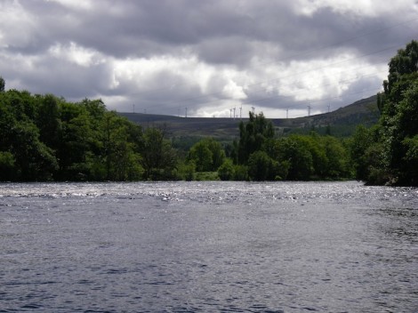
Looking down the River Connon
This is where the trip and the river really takes on a character all of its known. Several fairly flat sections are followed by numerous grade 2 rapids, with some great surf waves and fun places to play.
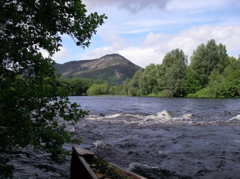
The start of some of the rapids
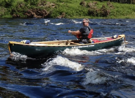
Enjoying the day
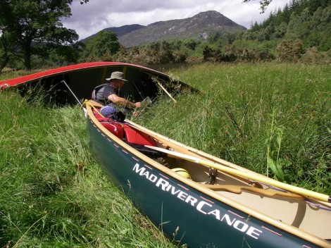
A moment for some reflection, and a quick "Where are we?"
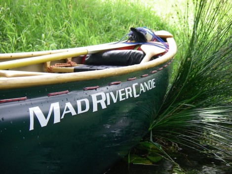
Even boats need a rest some times!
One final rapid on this section leads into Loch Achonachie. Again only grade 2 but still nice to have and mess about on. It was after having been here for a while and just before we set off across the Loch that we noticed the rapid was dropping off! Un be-known to us at this time was that the Connon’s rapids are dependent on a release from the power stations. If timed right as one release ends into the Loch another starts flowing out from the other end, providing more interesting paddling
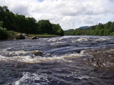
Final rapid entering Loch Achonachie
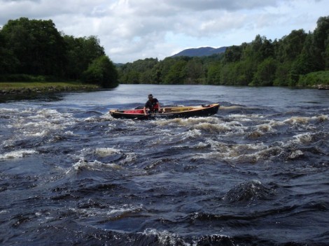
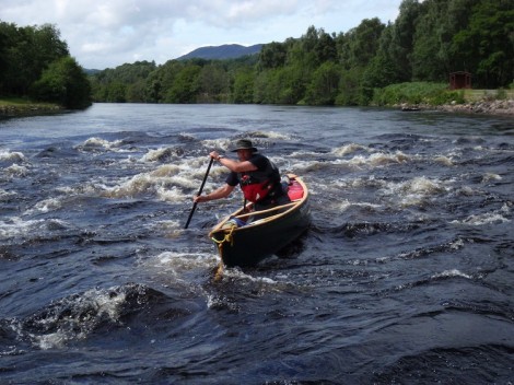
The river continues its journey east in much the same way, flat but moving, interspersed with sections of grade 2 rapids before entering a tidal section just before the get out.
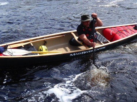
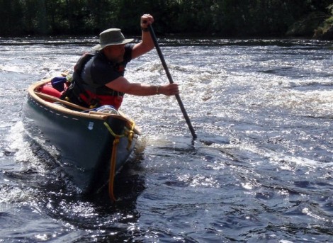
Nu-tache-wan-asee, Man-that-plays-in-the-Rapids !
A really enjoyable paddle in an area with some stunning scenery. The wildlife is in abundance and on this section in particular there is the opportunity to see Otters. If you are in that area and get the chance go and paddle it, you wont regret it. Hope you enjoy reading this as much as I did paddling it.
See you on the water…
Jules
My tale begins a few weeks ago when I came up with the crazy idea of doing the Tryweryn the wrong way! Yes that’s right starting in Bala and journeying up the river. Its a canoe thing. I was inspired by the tails of someone having done this from the road bridge part way down, up to by Chapel Falls. Just so you know Polling is one of the traditional canoe skills dating back to the times of the fur trade and the Voyageurs, where this skill would have been used for up stream travel in order to access other areas and rivers etc. It is said to be the fastest way of progressing upstream under human power, and in shallow water is often the only way to progress either up or downstream.
The technique requires the paddler to stand up in their canoe (good balance needed) and to then propel the canoe forward with the use of a pole, some 12-13 feet long. Sounds simple, but believe or not it takes some practice. There are Poling competitions/races held abroad and there is actually a world champion. Some of these competitions also require that some drops are climbed, again using the pole.
So my idea was hatched, my aim was to ascend as far up as I could before the water went off, but without portaging as such and to try and pole as much as possible with only the odd “Glide & Slide” over rocks or the quick use of a line. I asked a good friend of mine to accompany me for morale, as a photographer and as a witness to my efforts. Unlucky for him he didn’t realise my intentions and even worse, I still ask him to accompany me now on more challenges I have planned. So thank you for that Iain.
So the day arrived and we met in Bala behind the Fire Station, where I broke the news to him of my intention. Shock is the word that springs to mind! Not only that but he also reminded me that the river was on a 10 cumec release that day. As we prepared for our venture a group arrived in the car park for a drop off and asked us of our planned day. Again the look of shock on their faces was a picture, and I don’t really think they believed us or thought it could be done. They did however wish us luck and said they would see how far we managed to get as they came down. Added very tongue in cheek were the words “Expect to see you just above the falls then in a few hours then!”
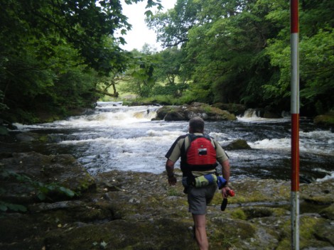
Quick recce before tackling Bala Mill Falls. I opted for a Glide & Slide up the right hand side
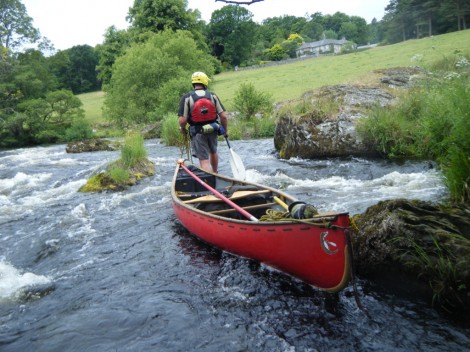
Onward and upward after the falls
I would be lying to say it wasn’t challenging at times. Some sections took several attempts to get the line right, and I did take one swim when a branch jumped out on me from behind, lost my boat and resulted Iain having to rescue it some distance down stream and me being on the opposite bank. My pole took somewhat of a hammering and now has more bends and kinks in it than a mountain track. On one occasion I thought I would be clever and try and bend it back by placing it between two rocks and bend it the opposite way. Not too sure that was a good move.
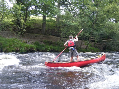
Poling up one of the interesting sections
The day moved on and Ian admitted it was a bit too much for him, and so adopted more of a support role/spectator preferring to laugh at my efforts and at times frustration. I only needed to use lines once and slid over the rocks on a couple of occasions, but most was done with the aid of a pole. A few hours into it the group we had seen at the car park came down he river astonished at how far we had made it and congratulated us along with a few sarcastic comments.
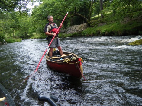
Time for a quick breather and look for the next line
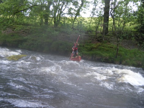
Could this be the right line?
Not long after a group of kayakers came floating by offering such words of wisdom as “Aren’t you going the wrong way” or “Its much easier going down“. Thanks for that. By now the time had moved on and it was close to the water shut off time so whilst Iain rested I pushed on further up to the road bridge, more often know as Half Way Bridge passing another kayaker whom I recognized and also looked in disbelief and offered words of encouragement like “Why would you want to do that.” Just short of the bridge by only 50 or so meters I stopped and turned around conscious of the time and made my way back to Ian and his resting spot. It had taken four and half hours to get this far, but it only took 40 min to get back down to the carpark.
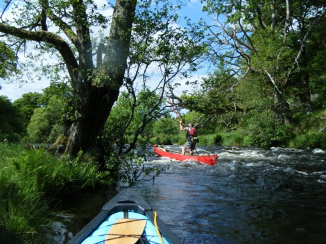
Late on in the day getting near the bridge and Iain's rest spot
Tired but happy we loaded boats and chatted about the day. I feel confident next time I could complete the trip all the way from the Fire Station up to Chapel Falls, but only time will tell and I will save that for another day.
You can read Iain’s full account of the day by visiting the link here.
Thanks Iain for being my wing man and writing the article. I look forward to our next adventure together. By the way have I told you of my next plan….?
See you on the water..


