


End to end on Loch Ness – Part 1
I was recently asked to spend a week introducing a group of people to Open Canoeing in the Scotland. After having spent only a day and a half getting to grips with the basics as a tandem crew, I decided that it was time to venture a little further and attempt a two day journey with an over night camp. What better way to learn about the subject than by simply going and doing it? After a brief chat with my group whilst traveling back from a day on Loch Ussie, a unanimous decision was reached. The journey/camp was to be on the classic Loch Ness.
Loch Ness is a very large, and very deep fresh water loch in the Scottish Highlands, and is part of a cross Scotland route know as the Caledonian Cannal which in its self is part of the Great Glen. It lies South of Inverness and is some 23 miles (37km) in length. Despite its size it is the second largest Scottish loch by surface area after Loch Lommond . It is probably best know for the alleged sightings of the legendary Loch Ness Monster, otherwise know as ‘Nessie’.
I feel the open canoe can really come into its own when introducing people to paddlesport. It is a great way to encourage teamwork, communication and trust especially when tandem crews are used. Not only that but it really doesn’t take that long to give people the basics to get going and then head off on some journeys.
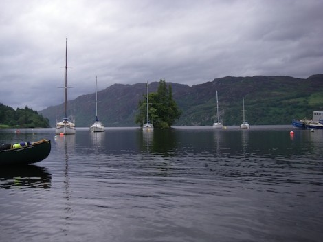
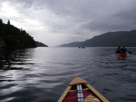
Looking out from our start point towards Cherry Island
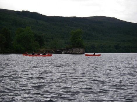
Passing the old pier
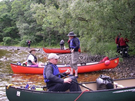
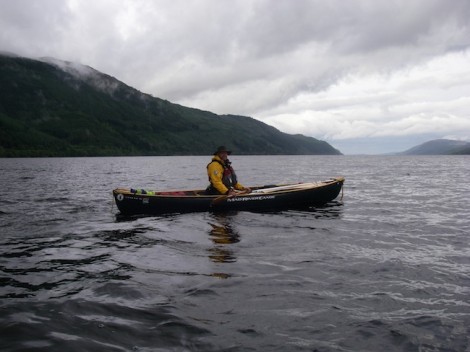
Our drop off point was not far outside Fort August on a midge infested slipway looking out to Cherry Island, which is the only Island on Loch Ness. Although all that can be seen today is a rocky tree clad island, it is in fact man made and known as a crannog.
Midges don’t normally bother me too much but these were really bugging me! So we quickly unloaded the boats and kit and had a chat about our options. The decision was made that in order to claim we had truly paddled from end to end, we would firstly have to head back towards Fort Augustus to where the River Oich entered the loch and a small wooden bridge crossed it. After a brief stop we turned around and started to head North. 23 miles of open water now lay between us and the end!
Heading back to Fort Augustus & the River Oich
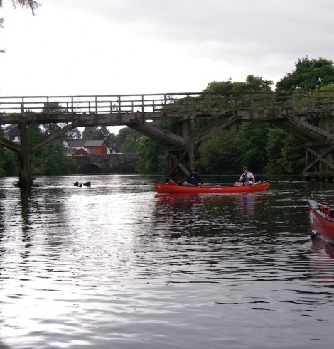
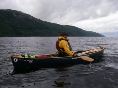
Our true start point, the bridge over the River Oich
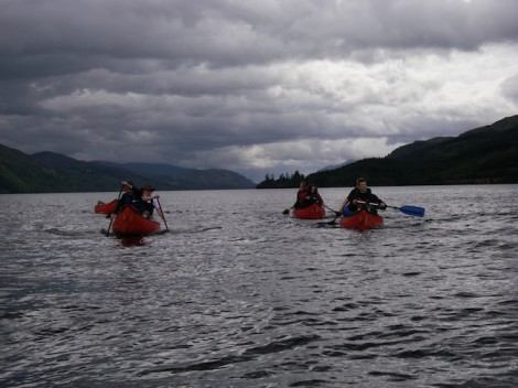
We made our way up the Western side of the Loch past Port Clair and on to Invermoriston where the River Moriston flows into the loch. Unfortunately any wind that was present was blowing in the wrong direction, so any chance of a helping hand or the opportunity for a sail was out of the question. The wind on the loch can pose quite a problem for the paddler, as there is potentially a long fetch (distance the wind can travel over the water) and the swell or waves created can easily swamp a canoe, so care should be taken.
23 miles of water between us and the end!
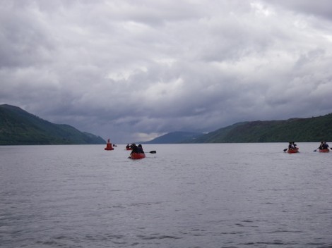
The group heading North
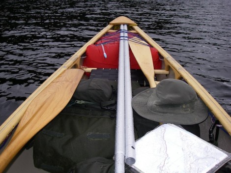
My well laden boat
Passing Port Clair
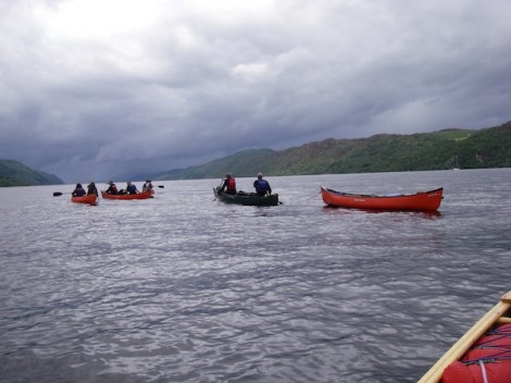
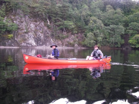
One of the many stops
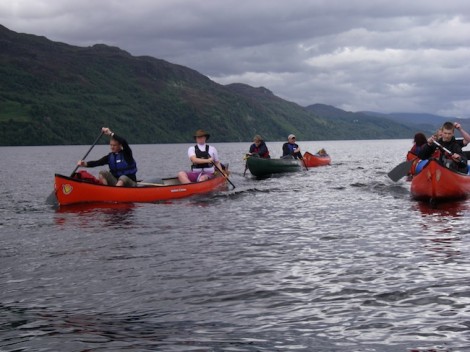
Port Clair and Invermoriston were now some distance behind us and we didn’t appear to making as much ground as I had hoped. To make things worse as we headed for Alltsigh we could see a storm in the distance which was definitely heading our way.
The darkening clouds offering us warning of what was to come!
Brighter weather followed
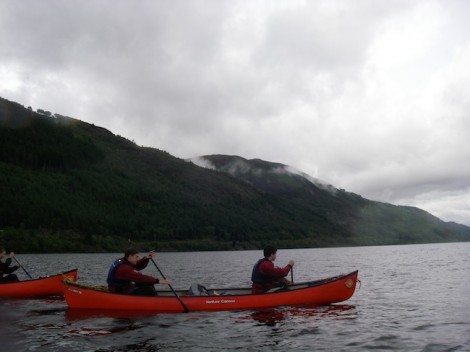
Not sure if its a good thing or not that you can see what’s coming, I mean do you really want to know that very soon your going to get very wet! Sure enough about twenty minutes later it hit us head on. Strong squally winds and torrential rain. This forced us to stop and take refuge in the trees along side. The group produced some hot food and entertained themselves whilst I decided on a plan of action. As if by magic after forty minutes or so it stopped and the sun broke through. It was now getting quite late with not much light left so we quickly packed up and set off, crossing to the Eastern side and heading for Foyers where I had planned to camp for the night. This would then mean that we were as good as half way.
Heading for the Eastern shoreline
Me half way across
Smiling faces and better weather over on the Eastern shore
Once we had safely crossed to the other shore a short paddle brought us to Foyers. After a quick recce I found a nice little sheltered beach not far from where the River Foyers enters the Loch.
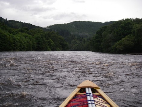
River Foyers
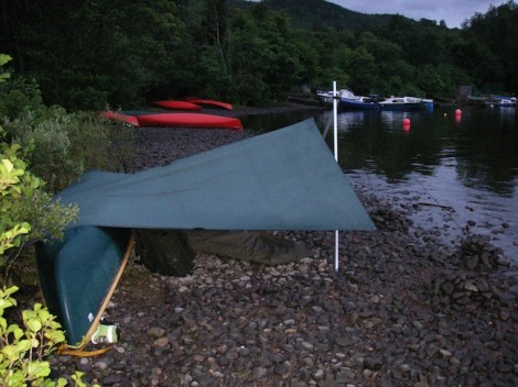
Not long after landing the group had set up camp and had got some food on the go. They had opted to use tents, but as usual I had gone for a boat and tarp combination. I rarely use tents if I can help it, as tarps are alot more flexible and rather more in keeping with the traditions of the open canoe. With some thought and experimentation a good shelter can be produced that will protect you well in the most challenging conditions. In this case because I chose to camp on the beach I used my split canoe pole to form a frame. Due to the stony environment of the beach tent pegs weren’t an option, so instead I tied my guy-lines onto pieces of driftwood I had found and buried them under large piles of stones. I like to use waterproof cotton tarps as opposed to nylon. My main reason being that if I choose to use an open fire for heat and cooking there is less of a chance that holes will be created by random sparks.
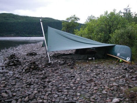
Home sweet home
After a good meal I decided to explore the local area a little before hitting the sack. I had noticed quite a strong aroma from around the area of my tarp and it didn’t take long before I found its source. Just behind where I had pitched was some wild mint, so it made sense to have a quick brew of mint tea before bed.
With the sun setting I was happy in knowing that we had at least made it half way. I was left with thoughts of what the following day would offer, or more importantly what the weather would throw at us?
I will leave you with this parting shot.
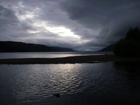
Sunset over Loch Ness from Foyers
To be continued…
See you on the water ….
Jules
Please Leave a Reply
TrackBack URL :